
![]() At any given moment, somewhere in the world, there is a flood occurring. Most of the time, those floods don’t make the international news circuit. When they do, it is because there are people in harm’s way. But the intensity of the media spotlight doesn’t always scale with the scope of the disaster.
At any given moment, somewhere in the world, there is a flood occurring. Most of the time, those floods don’t make the international news circuit. When they do, it is because there are people in harm’s way. But the intensity of the media spotlight doesn’t always scale with the scope of the disaster.
In the last several weeks, Queensland, Australia has been drenched by strong La Nina rains, breaking a long drought. Waters began to rise in late 2010, covering a land area greater than France and Germany combined (> 1 million km2).

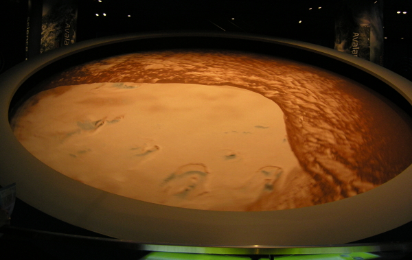
NASA image of Rockhampton Queensland, 7 January 2011
In east central Queensland, floods peaked on 5 January, isolating or submerging many communities, including the town of Rockhampton, where 75,000 people live. The Fitzroy River, which flows through Rockhampton, peaked about 2.2 m above flood stage, about 0.9 m short of the 1918 flood of record there. In that area, the waters are slowly receding, leaving hundreds of people to clean up and salvage their homes and businesses, while dodging displaced poisonous snakes and angry crocodiles.
But with the floodwaters beginning to recede along the Fitzroy, the crisis in Queensland has entered a new phase as flooding has struck rivers farther to the south in the state. On 10 January, a spectacular flash flood washed through the town of Toowoomba, to the west of Brisbane. As shown in the video below, the waters rose extremely quickly, picking up cars and even houses, and leaving people clinging to sign posts and trees. At least 10 people died in the flooding in Toowomba and dozens of people are still missing.
Now those floodwaters, along with floodwaters from other streams, are heading towards the Brisbane River and Queensland’s capital and largest city. Flooding in Brisbane in 1974 precipitated the construction of a flood control reservoir upstream of the city, but that reservoir is already way over full and officials have no choice but to release floodwaters into the city.

Flooding in downtown Brisbane in 1893 (photo from Wikimedia, in public domain)
Flooding in Brisbane is expected to exceed the 1974 floods and approach the record flood of 1893, the central business district is being evacuated, power is being cut to up to 100,000 homes, and up to 40,000 properties are expected to be affected. Many surrounding towns will also experience significant flooding.
More rain is in the forecast for large parts of Queensland (and northern New South Wales), so the floods will continue for the next few days or weeks. In addition to the human toll, this set of floods has significant economic consequences because of its effects on the coal industry and environmental consequences because of the sediment delivery to the Great Barrier Reef.
But, stepping back a bit from the immediacy of the crisis in Australia, the scope of the disaster there pales in comparison to the continuing crisis in Pakistan, where nearly six months after the flood began, water still submerges poorly drained agricultural lands in the southern part of the country. An estimated 600,000 Pakistanis are still without even temporary shelter and many more are in danger of starvation and water-borne diseases. Six. Months. Later. Compare that to a total of ~300,000 people affected in Queensland. There are vast differences in the population densities of the affected regions (see the maps below). The sheer number of people affected in the Pakistan floods would probably overwhelm the most resource-rich and prepared country in the world, which Pakistan certainly was not.

1996 Australian Population Density (source: Australian census)

Population density of Pakistan (from Pakistani census data, created by nomi887, uploaded to Wikimedia)
Note the differences in population density of the two countries. One way to do this is to look at the darkest read category in each case. In Australia is is 100+ people per km2. In Pakistan, it is 1000+ people per km2. Now look at the prevalence of those dark red areas.
So while our hearts go out to those who are losing lives and property in Australia, let us not forget that there is a flood tragedy still unfolding in Pakistan, largely out of the media spotlight. Let us also remember that when we see increases in the human impacts of meteorological and geological phenomena, it’s usually not changes to the size or frequency of the phenomenon that drives the trend, but the increasing number of people in nature’s way.
The Brisbane Times and Courier Mail are providing excellent comprehensive, coverage of the floods affecting their readers. I’ll be traveling for the next few days, to ScienceOnline 2011, so I may not be able to keep up-to-date on the flooding in Australia. I hope you’ll use the comments below to add links to news, images, and videos.


Nice plan for content warnings on Mastodon and the Fediverse. Now you need a Mastodon/Fediverse button on this blog.