Scenic Saturday: Mount Hood

A post by Chris RowanA post by Anne JeffersonWe’ve both had a great week in Oregon, with some science (and, for Chris, some field excursions with Lockwood in the Coast Ranges) at the start of the week and some more recreational explorations at the end. This was the literal and figurative high point of our Friday:

A view of Mount Hood from part of the Timberline Trail

A view of Mount Hood from part of the Timberline Trail

We hiked up from the Top Spur trailhead to join the Timberline trail, and after a lovely walk through a sun-dappled conifer forest we were treated to this lovely view of Mount Hood from the slopes of Bald Mountain.

According to Anne, today promises to be even more scenic…

Categories: photos, volcanoes

The start of a complicated – but exciting – summer

A post by Chris RowanA post by Anne JeffersonWith family on both sides of the Atlantic, the Allochthonous family always faces the prospect of a complicated summer, but this year we decided that we needed an additional science leg in the Pacific North West, and that we need to get all our travelling done in one big chunk. Our July itinerary therefore reads: Ohio-Minnesota-Oregon-Minnesota-UK-Minnesota-Ohio. This weekend saw us tackle the first big chunk of travel, driving from Ohio to Minnesota and then flying from Minnesota to Oregon. We’re here for a week: Anne is revisiting her old PhD haunts at Oregon State University and writing a paper with her colleagues there, while Chris is planning to do some preliminary geologising in the Coast Ranges, which may lay the foundation for future work out here. Being here is exciting; getting here was less so, but despite the slim geological pickings on the flat, flat, drive across the Mid-West, we had some fun with Geodog and our Twitter colleagues on the way.

http://storify.com/allochthonous/anne-and-chris-s-excellent-adventure

Categories: academic life, bloggery, by Anne, photos

What I do to make money and make the wet places good for animals and people (using only the ten hundred most used words)

This is a guest post from Alea Tuttle, a former graduate student of Anne’s at UNC Charlotte, who now works in environmental consulting. Alea recently discovered the 10 hundred words of science challenge and was inspired to write her own entry.* I think it perfectly captures the start-to-finish of restoration and its environmental aspects.

Part 1: How we make money by making wet places better

When people want to build things on top of wet places, or when they do bad things to wet places they are supposed to tell a group of people that watch out for the wet places. They figure out how much of the wet place that they did bad things to, which then gets turned into a number that people use to figure out how much money the people who build things have to give away. Then the people who look out for the wet places give the money to us to help other wet places that need help getting better. When we find a wet place that needs help, we use their money to buy the wet place and make it so that nobody can do bad things to it anymore and also to help the fix the wet place to make it better. Also we use some of the money to buy food and other things that we need and want while we are helping the wet places.

Part 2: What makes a wet place good or bad

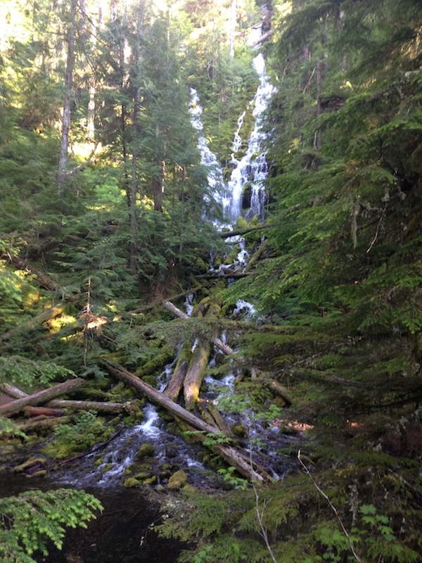
We look at lots of different wet places and see if the water and the places around the water are good.  When people grow food or build things near wet places, they do things that make the water and the places around the water bad for animals and people.  The biggest thing people do is take away trees. We like to see enough trees and places where trees leave a shadow so that the water stays cool. If the water gets too hot it is bad for the animals in the water. We also like to see enough of the part of the trees that go under the ground to keep the ground from getting pulled away by the water. Sometimes people do things that make the water go in a straight line, but we like to see water move in a way that goes side to side like a wave, because that is the way that water likes to move. If the water isn’t moving, but staying still in a place that is low, we like to see that the water is keeping the ground wet, because sometime people to things to make the wet places dry out. We like to see places where there are a lot of different types of green living things instead of just a few types that grow really fast and keep others from growing. We like ones that have lived there for a long time and are good food for animals better than the ones from somewhere else. We like to see all of these things because this is what is good for the animals that like wet places and because it helps the water to be good for animals and people.

Part 3: What we do to make wet places better

If the wet places and the places around them are not good, we try to make them better. The easiest thing to do is to keep the animals that people grow for food away from the wet places because they can do bad things to the ground and the green living things, and the water. We also make it so that people can’t build things near the wet places.  If the water is moving in a way that is not good or if the ground is drying up too much, we move the ground around and make the water move the way we want and keep the ground wet. We also take out the green living things that are bad (like the ones that come from somewhere else and grow too fast) and we put in other green living things that are good (like the ones that have things animals can eat, and that have been there for a long time) and also we put in lots of baby trees that will grow up and make shadows over the water.

Part 4: What we do to make sure we did things right

Sometimes the green living things that are bad come back because they grow a lot and very fast, and because the animals and people bring them back. This sometimes keeps some of the other green living things from growing, especially baby trees. Also, sometimes the water doesn’t go where we want it to go, even though we made the ground different. If that happens, it usually happens when a lot of water falls from the sky and makes the wet places fill up with more water than normal. So for seven years after we make all the changes to the wet places, we keep coming back every year to make sure the right green living things are growing, that the water is going where we want, that the ground is not being pulled away by the water, and that enough baby trees are still growing.  We do this for a long time because we want to make sure things are good after a lot of water falls from the sky over and over again. For seven years, we make pictures of the wet places and write letters and numbers to tell the people who give us money and who own the wet places what is going on. After seven years, if everything is good enough, then we stop coming back. If after seven years, things are not as good as we want, we have to keep coming back. Usually we have to bring in more baby trees and make more pictures, letters, and numbers or even make some changes to the ground again. We try to do everything right the first time because it costs a lot of money to make the pictures, letters and numbers and to bring in more baby trees and change the ground, and also because it is bad for the wet places to be making so many changes all the time.

Part 5: The things I used to help me write these words and some other words some nice people that I like wrote on the computer

The up goer five: http://xkcd.com/1133/

The place on the computer to type things in: http://splasho.com/upgoer5/

The ten hundred words I can use: http://splasho.com/upgoer5/phpspellcheck/dictionaries/1000.dicin

The place on the computer where people read things: http://tenhundredwordsofscience.tumblr.com/

The other place on the computer where people read things:  http://blogs.agu.org/sciencecommunication/2013/06/12/tiny-vocabulary-spurs-scientists-verbal-creativity/

*Anne’s note: While the 10 hundred words meme has gotten some criticism from some parts of the science journalism crowd, I still think it has value as a periodic exercise in figuring out ways to communicate science with less jargon. This pair of tweets from a Science Cafe in Maine reminded me how important it is to be mindful of vocabulary when talking with non-scientists.

Since no one has suggested we should always limit ourselves to the most common 10 hundred words, I can’t see how challenges like that undertaken but Alea can do anything but help.

It’s not too late to write your own 10 hundred words of science. If you do, please let us know and/or submit it to the Tumblr.

Categories: environment, hydrology, public science

In large earthquakes, the Earth moves for almost everyone

A post by Chris RowanThe Global Positioning System has completely revolutionised how geologists study the deformation of the Earth. If you leave a GPS receiver in a fixed location for days, months and years, it is precise enough to measure motions on the millimetre scale, allowing us to track strain building up across active faults, and even the incremental drift of the tectonic plates themselves across the Earth’s surface. But on the 26th December 2004, stations across a sizeable slice of the Earth’s surface suddenly found themselves being jerked around a bit more rapidly. The plots below are from stations in southern India and northern Taiwan, respectively.

GPS data from stations in southern India (IISC) and Taiwan (TNML), December 2004 and January 2005.

If you are thinking that date sounds a bit familiar, you’d be right: that jerk is the signal of the massive magnitude 9.3 earthquake that ruptured a 500 km length of the Sunda Trench off the coast of Indonesia on Boxing Day 2004, and unleashed a devastating tsunami.

What’s impressive is that we are seeing permanent deformation of the crust due to motion on a fault (what is known as coseismic deformation) an extremely long way away. As we can see on the map below, the Indian GPS station IISC is some 2,300 miles away, and the Taiwanese station TNML is 3,600 miles away, from the Sunda Trench. And yet, even at that distance, the Sumatra-Andaman earthquake shifted the land beneath these points about a centimetre – a little less for the Taiwan, a little more for India.

coseismic motions from the Sunda trench earthquake on Boxing Day 2004

The figure above also compares the actual motion observed with GPS (black arrows) with predictions from a model of the Boxing Day rupture (grey arrows). What this figure doesn’t show is the predicted coseismic deformation at places not occupied by GPS stations. Fortunately, a paper just published in the Journal of Geophysical Sciences contains a much nicer visualisation of the output of a similar model. This model – rather mind-blowingly – indicates that the Sumatran-Andaman earthquake rupture directly deformed a sizeable fraction of the Earth’s surface, including Africa, Arabia, the eastern half of Asia, and most of the Americas.

global coseismic deformation due to the Boxing Day 2004 earthquake

Paul Tregoning and his co-authors have gone on to calculate the cumulative coseismic deformation resulting from all 15 magnitude 8 or greater earthquakes that have occurred since the turn of the millennium on the Earth’s surface. Unsurprisingly, the big three earthquakes in this period – the Sumatra-Andaman, the magnitude 9.1 Tohoku earthquake in March 2011, and the magnitude 8.8 Chilean earthquake in February 2010 – are the major contributors, but the smaller ones fill in some gaps in the southwest Pacific.

global coseismic deformation due to all M 8+ earthquakes since 2000

Modelled global coseismic deformation due to all M 8+ earthquakes since 2000, from Tregoning et al., 2013

Basically, outside of western Europe and the Arctic Circle, pretty much the entire surface of the planet has been shifted at least a millimetre or two by an earthquake since the turn of the millennium. And this has real world consequences. The interiors of the Earth’s tectonic plates are generally assumed to be rigid and undeforming, and are used as a fixed reference point for measuring deformation at the plate boundaries. The red arrows in the figure above show exactly how much you’d be wrong if you are assuming that for a given point on the Earth’s surface. Even when you’re a long way from a plate boundary, coseismic deformation from distant, large earthquakes is causing your ‘fixed’ reference point to be not so fixed. Spooky tectonic action at a distance, indeed.

References

Corné Kreemer, Geoffrey Blewitt, William C. Hammond, & Hans-Peter Plag (2006). Global deformation from the great 2004 Sumatra-Andaman Earthquake observed by GPS: Implications for rupture process and global reference fram Earth, Planets, Space, 58 (2), 141-148

Tregoning, P., Burgette, R., McClusky, S., Lejeune, S., Watson, C., & McQueen, H. (2013). A decade of horizontal deformation from great earthquakes Journal of Geophysical Research: Solid Earth, 118 DOI: 10.1002/jgrb.50154

Categories: earthquakes, paper reviews, tectonics

And the ScienceSeeker Award for best physics, astronomy, or earth science post goes to…

A post by Chris Rowan…me, apparently. Even though I didn’t know I’d been nominated until I was notified on Twitter:

Check out the announcement on the ScienceSeeker blog for full details and links to the winning posts in other categories; there’s some good – award winning! – reading there.

My winning entry was my response to the verdict in the L’Aquila trial, where I argued that earthquake safety is about door locks, not fire alarms: in other words, whatever the dubious merits of the trial and conviction itself, it highlights a worrying focus on short-term warnings (which we can’t do) at the expense of long-term preparedness (which we can do, at least in theory).

It’s an important discussion, so in addition to being happy that the work and thought I put into writing the piece has been recognised, it’s nice to think that a few more people who otherwise wouldn’t have read it will end up doing so. Also, in a phase of my life where I’m having to adjust juggling my blogging with several new personal and professional commitments, it’s a nice incentive to keep it up.

Anyway, whilst I bask in the kudos and the shiny glory of my pretty winning badge (and some prize money to help keep my web host hosting), my thanks to ScienceSeeker for organising the awards (and letting geosciences take over the physics and astronomy category after some vigorous feedback on Twitter), the judges for reading and liking, and fellow All-geo blogger Simon Wellings for putting my name forward.

Categories: bloggery