
High in the Oregon Cascades, there is a lake attracting quite a bit of attention this summer. That’s because it is disappearing.
The disappearing lake, appropriately called Lost Lake, isn’t just disappearing because of the drought that Oregon has been experiencing this year. Lost Lake disappears fairly regularly – that’s probably how it got it’s name after all.
What makes Lost Lake’s disappearing act particularly attention-worthy this year is that it has been caught on video. Now the world knows Lost Lake’s secret: it has a hole in its bottom.
Back in April, the Bend newspaper posted a video to youtube that has subsequently attracted over 5.6 million views.
Actually, it has 3 holes, as this recent video from Oregon Public Broadcasting explains:
The OPB video above does a good job of connecting Lost Lake’s hole into the broader story of the hydrogeology of the McKenzie River watershed. That’s the area where I did my PhD research, and some of the facts quoted in the video are from my publications. Based on tritium-helium dating we did at several springs in the McKenzie watershed, we think the mean transit time of water underground (from snowmelt to spring flow) is about 3-7 years, and, as the video said, we think that Lost Lake contributes its water to one or more of the springs at Clear Lake, a few miles away.
In fact, I was ahead of the curve in being fascinated by Lost Lake. I spent a chunk of 2004 trying to measure the two streams flowing into Lost Lake and the change in volume of the lake itself. Lost Lake is what is known as a closed-basin lake, which means there aren’t any streams that carry water away from it. We think any streams that once drained the lake were covered by lava flows a few thousand years ago. Since there aren’t any streams that leave the lake, any water that comes in has to leave either by evaporation or groundwater recharge (both via the holes and through slower infiltration into the sediments). If we measure as many inputs and outputs as possible, we can compute a water budget for the lake, just like balancing your checkbook.
Unfortunately, I never finished working up the data, so I can’t give you the answer of how much water disappears down those holes. But watching those videos from this summer, I’m not sure my 2004 data would have told us the same story as this year. I think the lake held more water in 2004, because the holes were much more plugged up than they are now. The holes being more pluggedh corresponds with the story in the video about some well-meaning (but vandalous) visitors throwing trash and dirt into the holes, which is story that was told when I was working there. There were even a few worried mutters about what would happen if Lost Lake stopped draining, because then it could cause flooding of US highway 20, which is a major route across the Cascades and runs along the lakeshore.
Here’s what the main hole looked like when I was wandering Lost Lake’s shores:
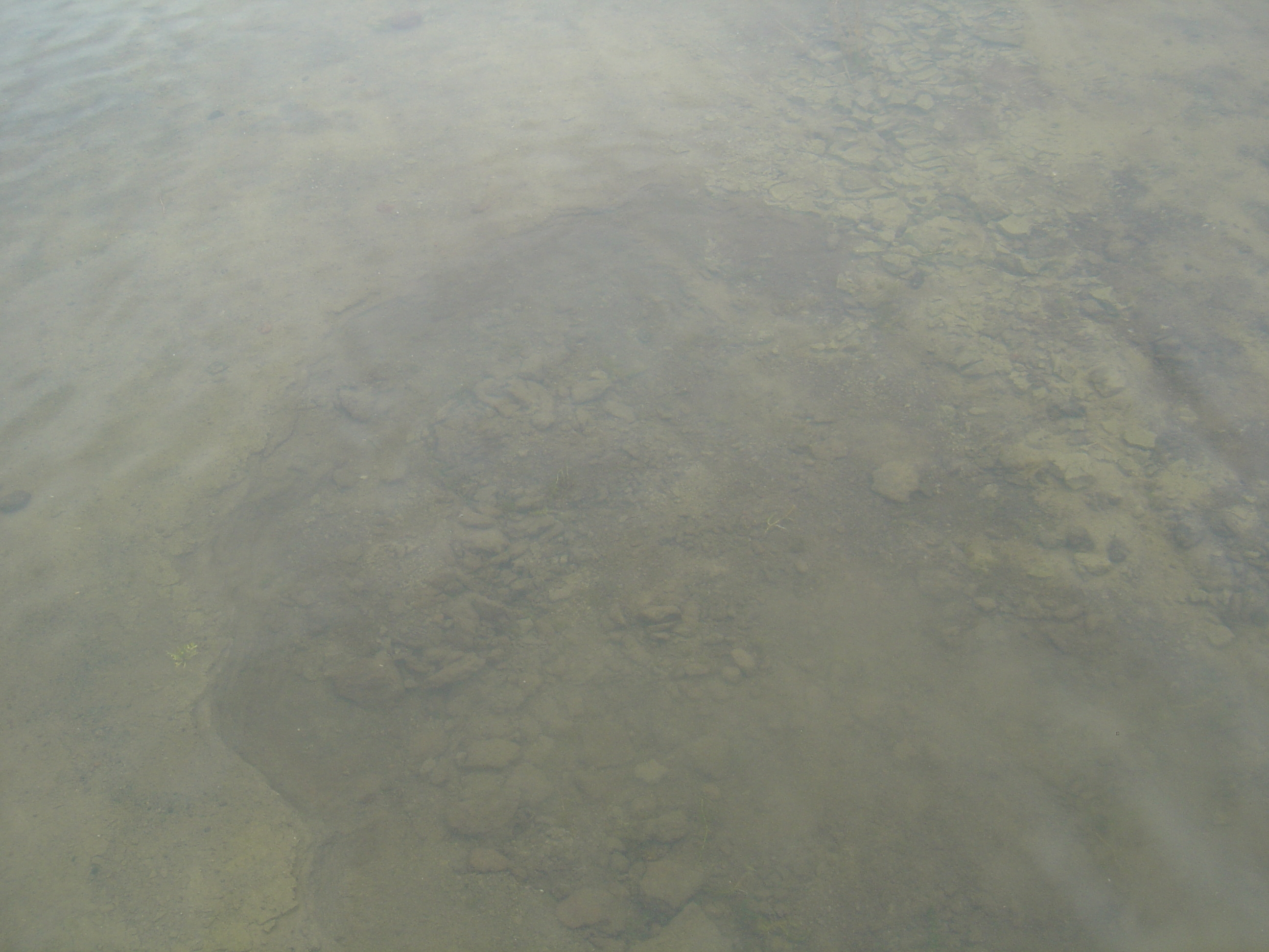
Lost Lake sinkhole, as it appeared in September 2004. Photo by A. Jefferson, all rights reserved.
View from the shore of the Lost Lake sinkhole, as it appeared in September 2004. Photo by A. Jefferson, all rights reserved.
Here are a few more beauty of shots of Lost Lake. I don’t think it’s revealed all of its mysteries to us yet.
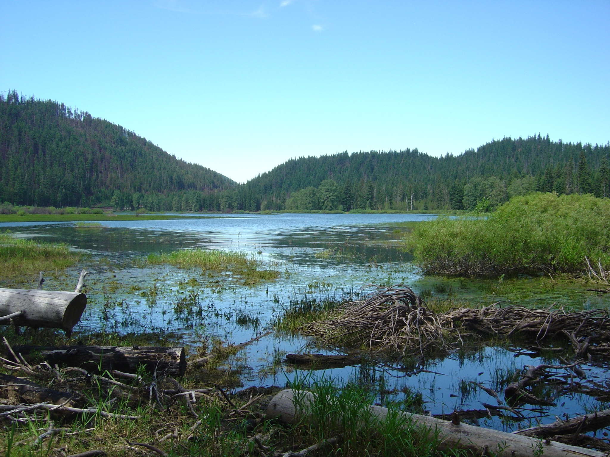
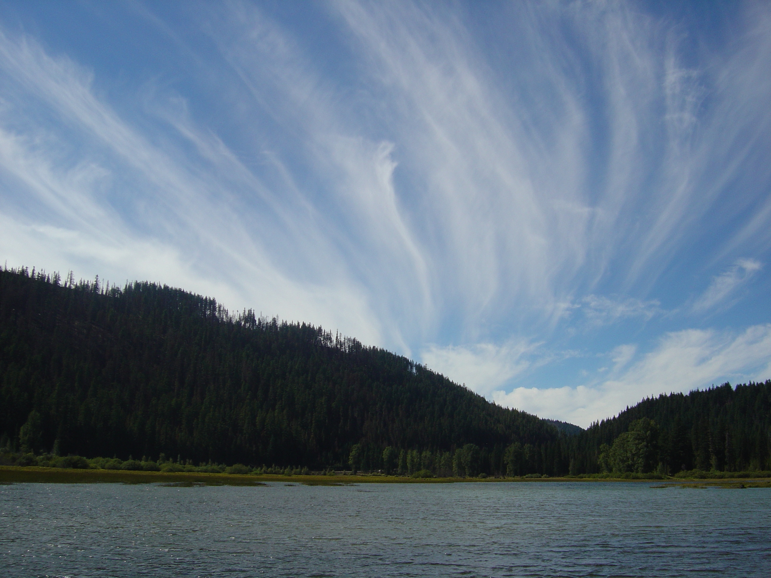
Lost Lake, from the northeast, as it appeared in June 2004. Photo by A. Jefferson, all rights reserved.
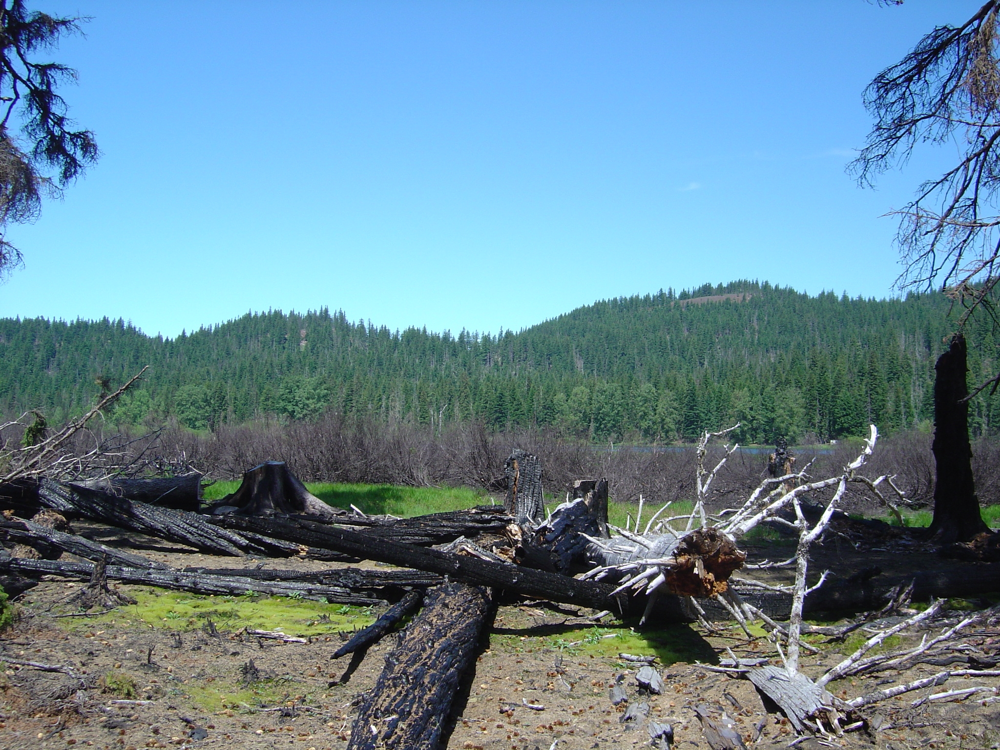
The Lost Lake Cinder cones that produced the flows that probably dammed the paleo-stream that once drained Lost Lake. June 2004. Photo by A. Jefferson, all rights reserved.
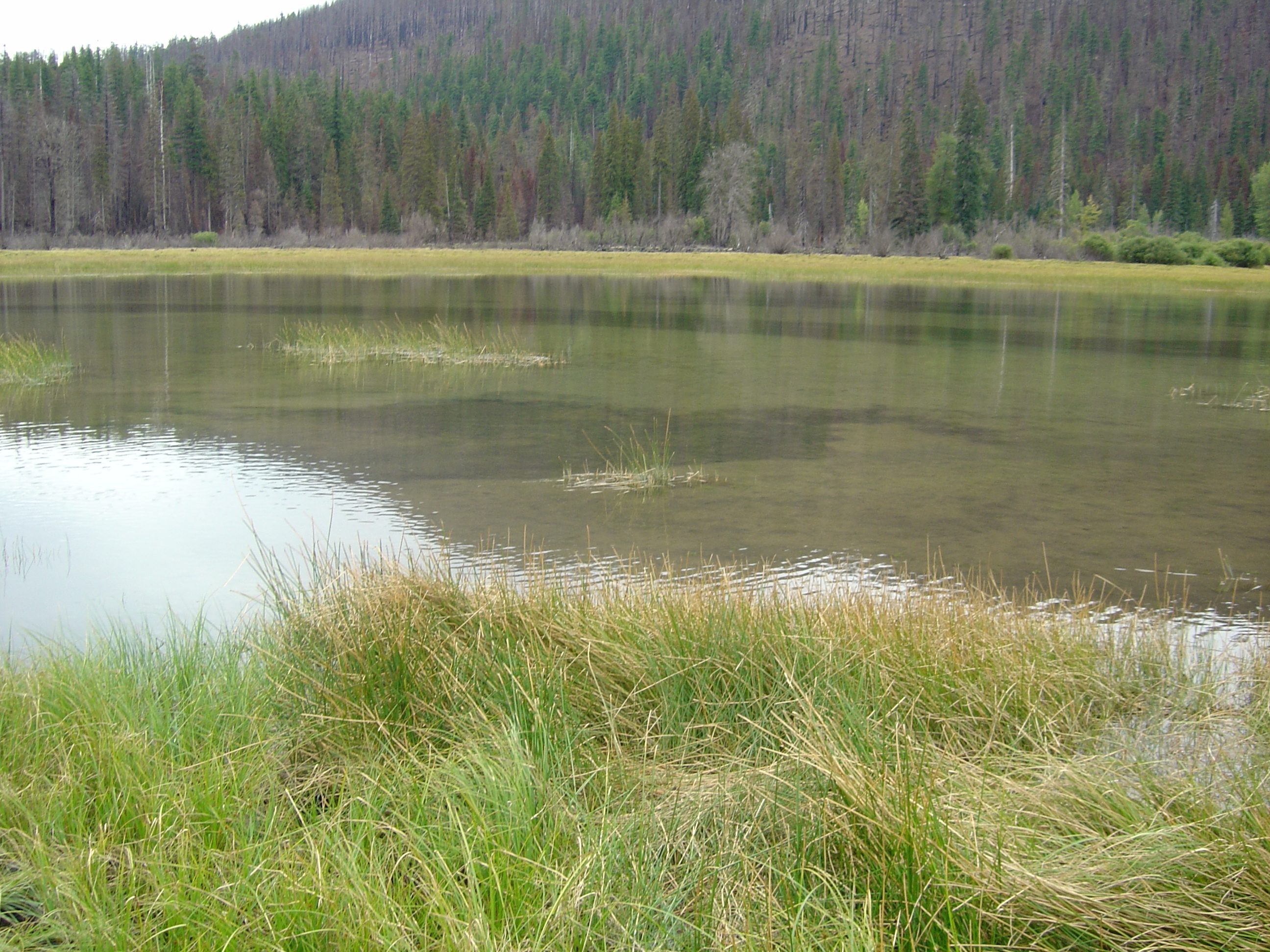
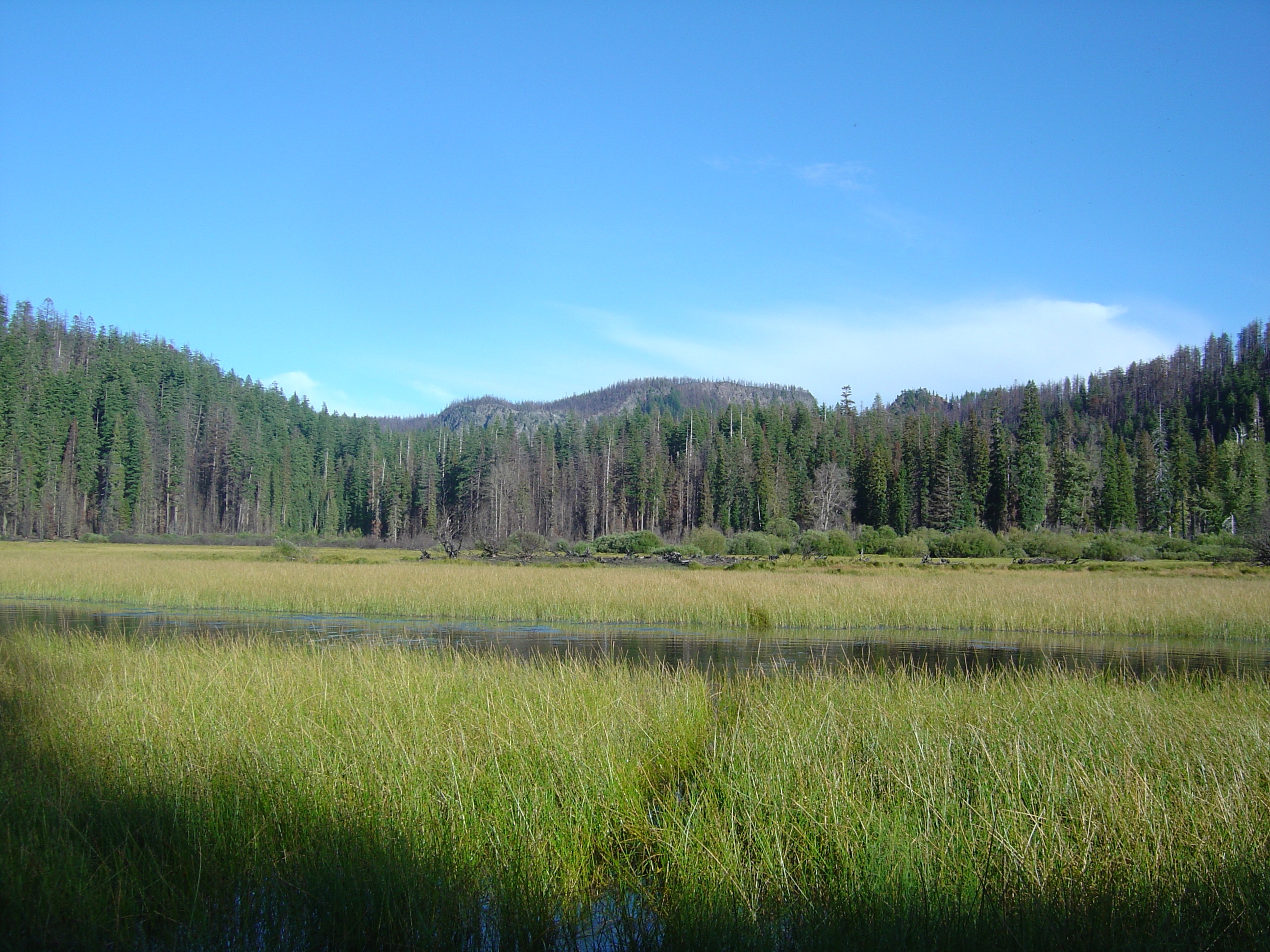
Lost Lake,somewhat fuller in June 2004. Photo by A. Jefferson, all rights reserved.
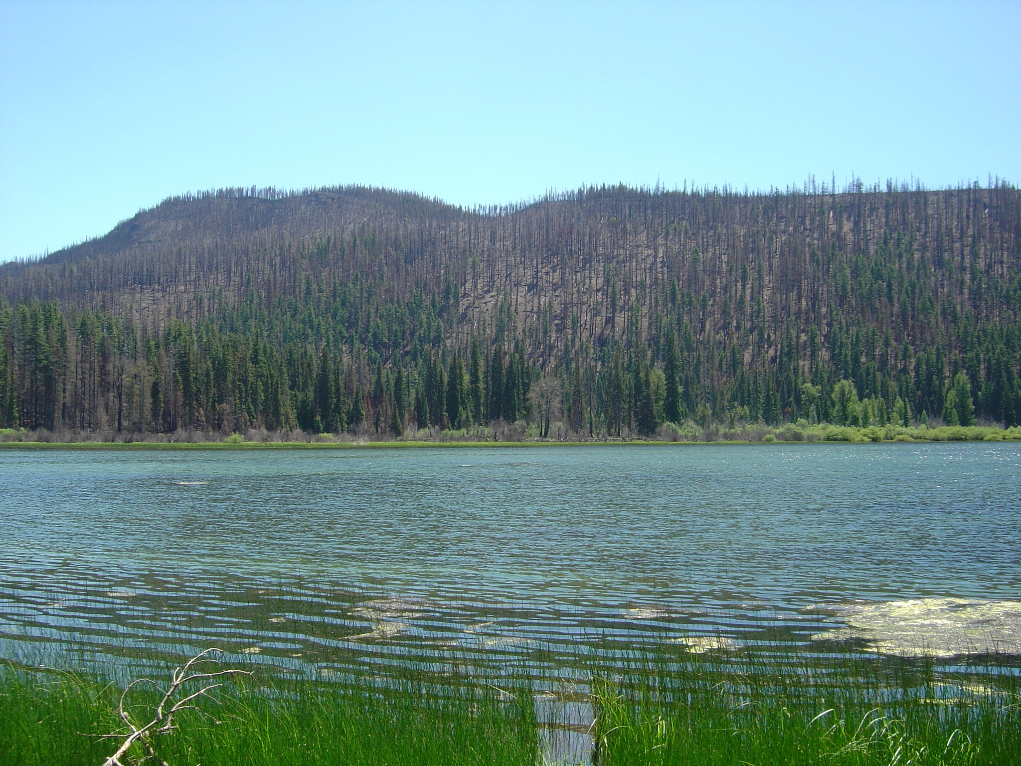
Lost Lake, looking northeast, as it appeared in September 2004. Photo by A. Jefferson, all rights reserved.
Lost Lake, looking southwest, as it appeared in September 2004. This is like the direction that the groundwater flows. Photo by A. Jefferson, all rights reserved.
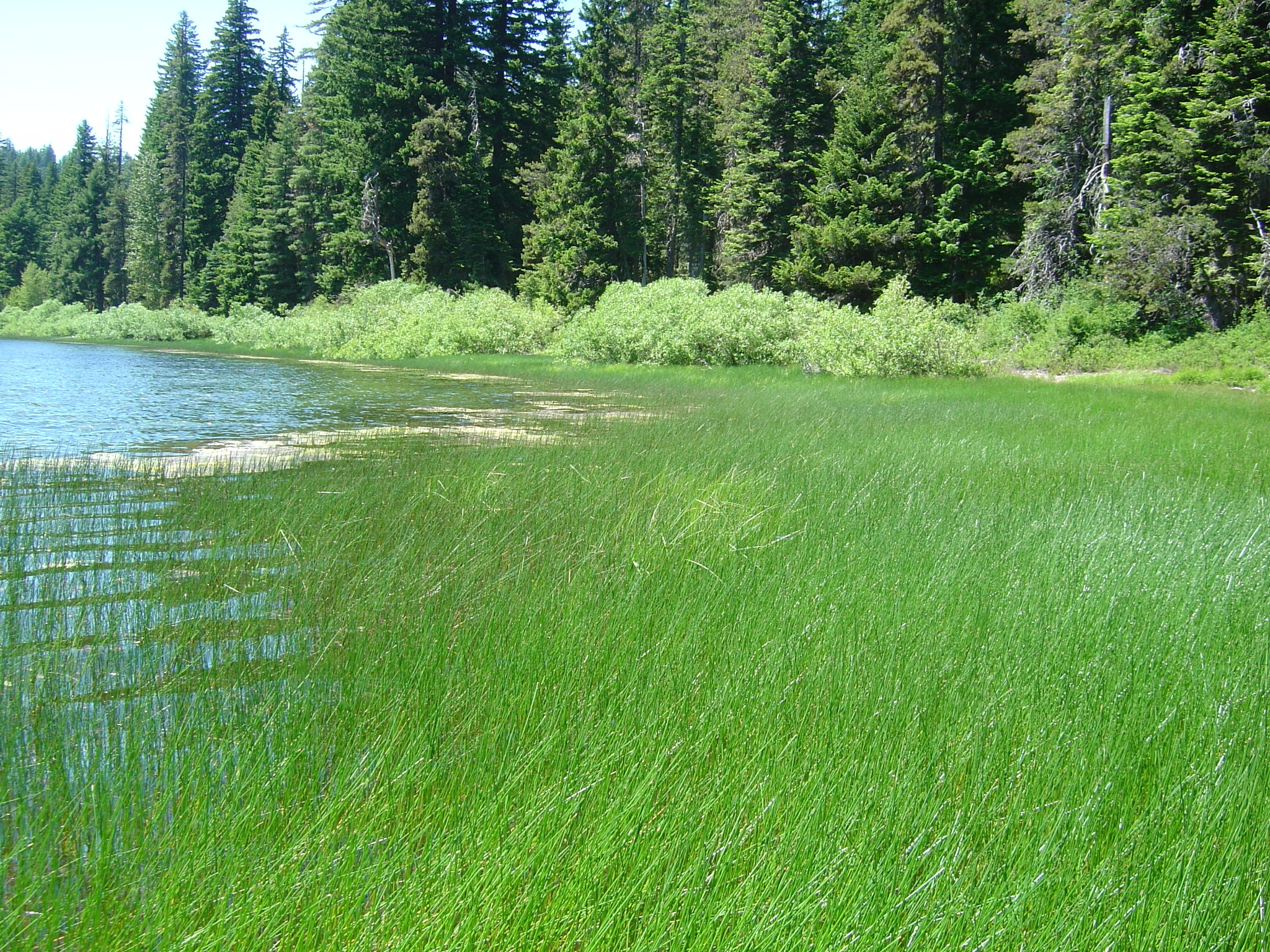
The shoreline of Lost Lake in June 2004. Photo by A. Jefferson, all rights reserved.
I know a few other lakes in the area that pull their own disappearing acts but have yet to be featured in a viral video, but I won’t steal the spotlight from Lost Lake, with its charismatic sinkholes and easy accessibility. Instead, I’ll hope that the video viewers and lake visitors use Lost Lake’s hole as a chance to contemplate the connections between surface and groundwater and how what we do at the surface can affect water quantity and quality miles away.
Comments (2)