![]()
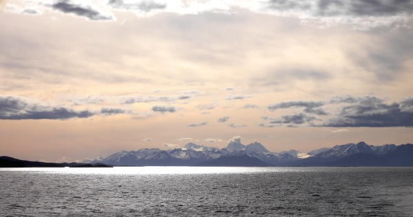
![]() 23rd December, known by GeoKid “the day before Christmas Eve”, saw our first stop on the mainland of the Antarctic Peninsula and on nearby Cuverville Island. Both Anne and Chris got snowy hikes in that day, so our entry will interweave our experiences as recorded in our journals.
23rd December, known by GeoKid “the day before Christmas Eve”, saw our first stop on the mainland of the Antarctic Peninsula and on nearby Cuverville Island. Both Anne and Chris got snowy hikes in that day, so our entry will interweave our experiences as recorded in our journals.
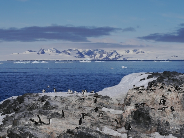
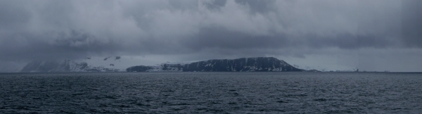
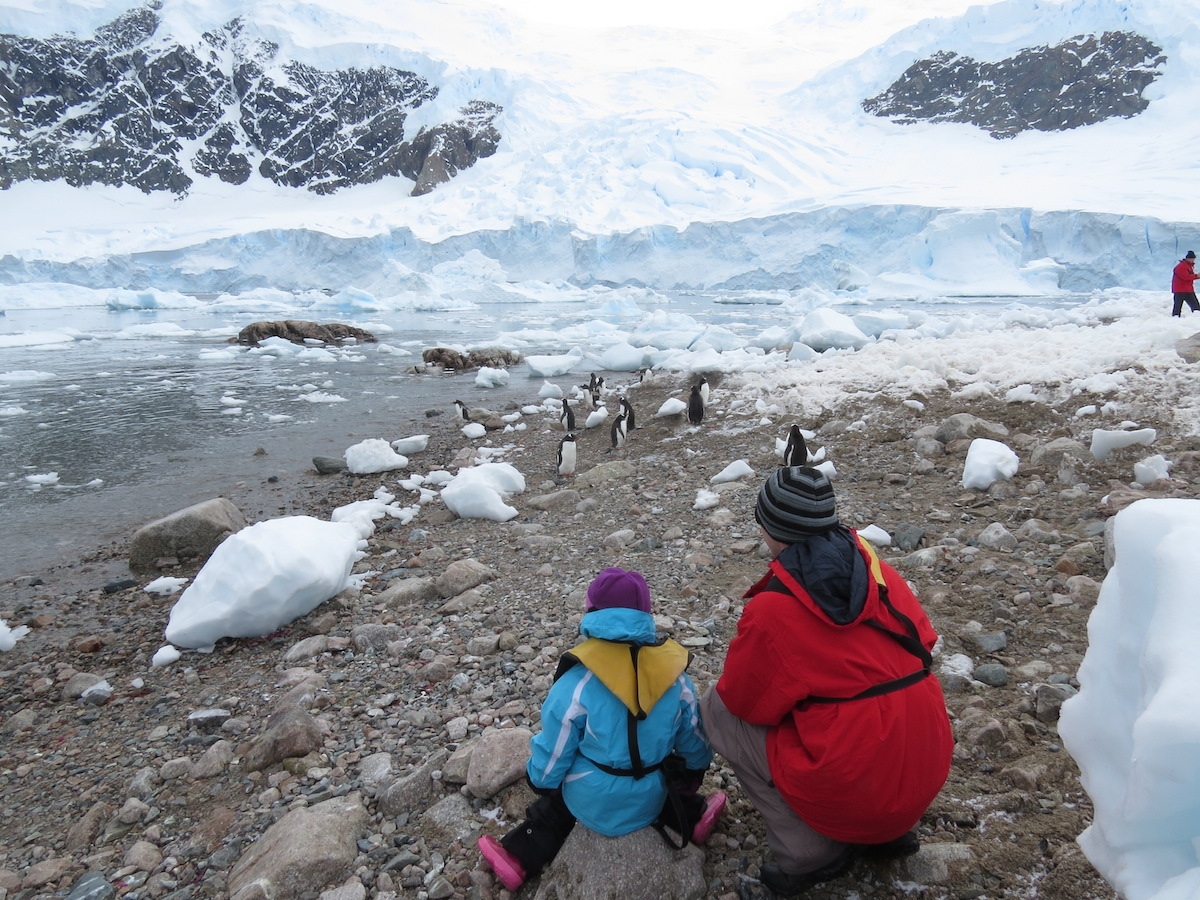
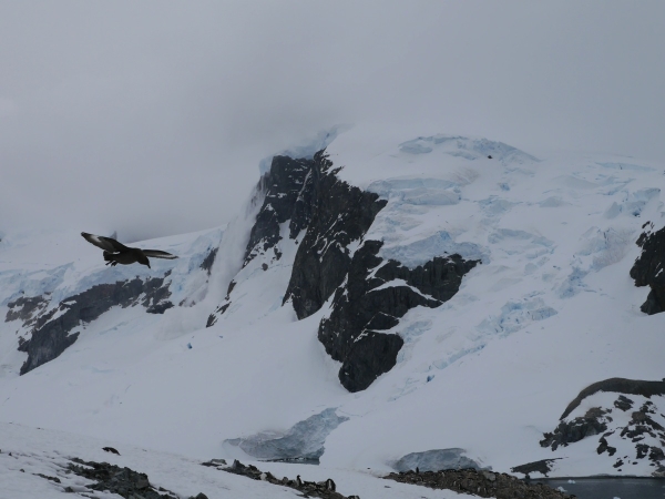
Anne: “Our first landing of the morning was at Neko Harbour, a tiny slice of exposed land on the Antarctic Peninsula itself. If there was any doubt we were truly in Antarctica, this stop dispelled it. Glaciers everywhere, icebergs in the water, a small cobble beach, snow, penguins, skuas, and steep slopes. Other than where we were, the only exposed rock was vertical. Even that seemed to be draped by >100 feet of glacier on top.
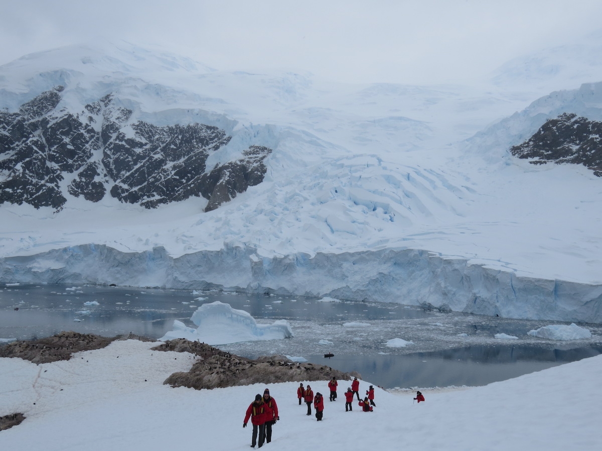
“On the beach where we landed were Gentoo penguins bathing, granitic cobbles and chunks of ice washed in by surges created when one of the glaciers calved. Chris and GeoKid stayed near the penguin colonies while I made my way uphill on the hike. It was warm going, but the snow had a fairly good icy crust on it and the views increased as we gained elevation. We switch-backed up to an outcrop with views down on the harbour, another arm of the bay, and the lower bits of the glacier. But there were still hundreds if not thousands of feet of mountain and ice above us. Spectacular!
View from the beach at Neko Harbour. Note the washed up glacier bits on shore. Photo by A. Jefferson, December 2013.
A warm climb on a cold continent. Photo by A. Jefferson, December 2013.
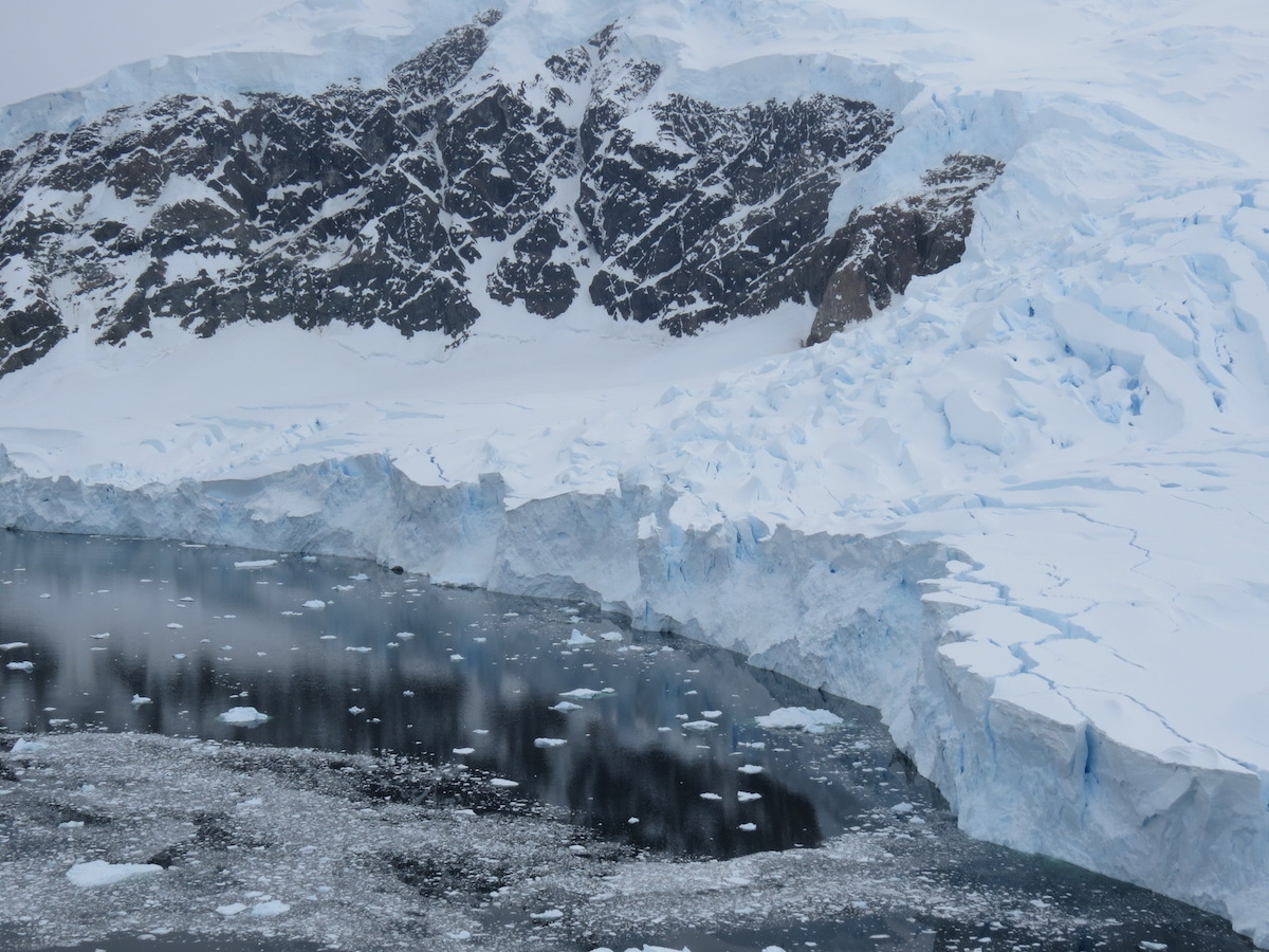
View from the top of Anne’s climb at Neko Harbour. Still at least 300 m of relief above her. Photo by A. Jefferson, December 2013.
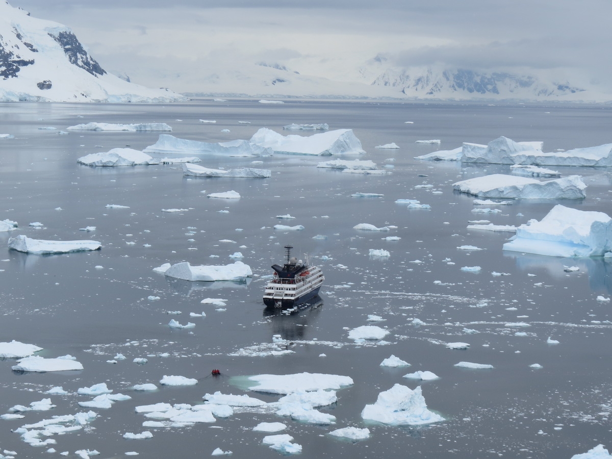
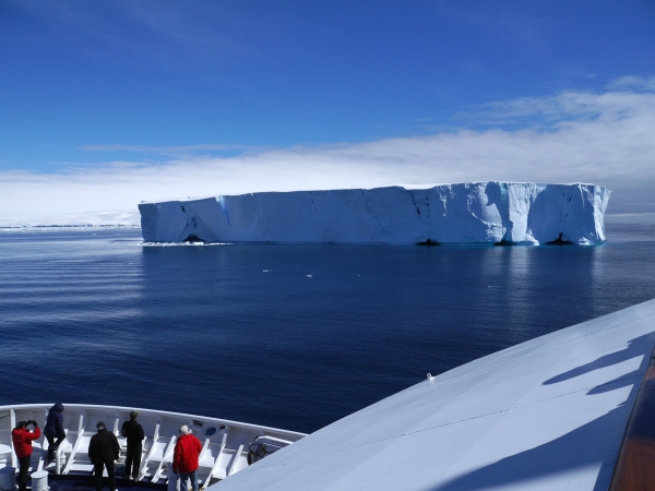
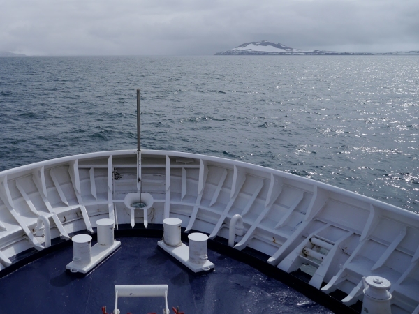
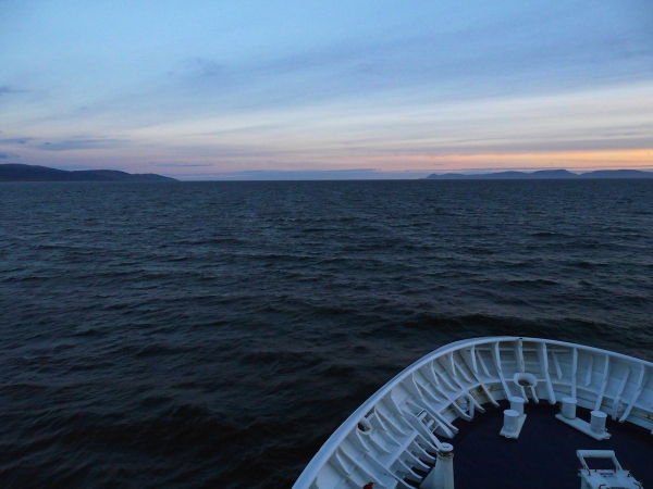
The good ship Corinithian, in Neko Harbor. Photo by A. Jefferson, December 2013.
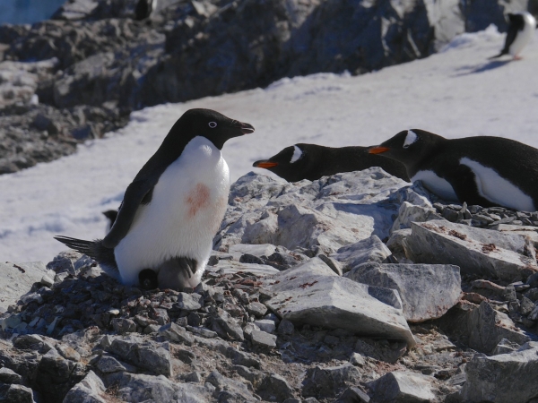
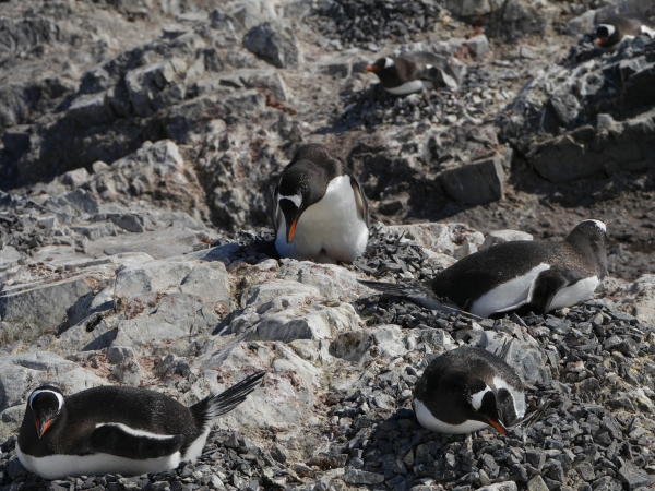
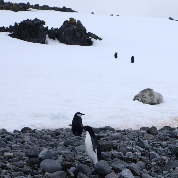
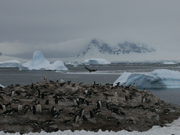
Chris: Neko Harbour was a fun stop. Whilst Anne went on her hike, Geokid and I hunkered down to observe the nesting Gentoo penguins. Because large plant life is absent in Antarctica, other nest material is required, and the penguins build nesting mounds from scavenged pebbles. Just as bare rock is a precious commodity, so are the pebbles – which means the penguins are continually stealing rocks from neighbouring nests to shore up their own.
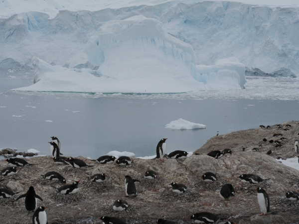
The Gentoo Penguin colony at Neko Harbour, Antarctic Peninsula. The wall of ice across the inlet is the mouth of a glacier. Photo: Chris Rowan, 2013.
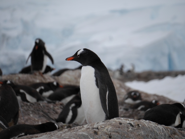
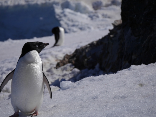
Gentoo penguin at Neko Harbour, Antarctic Peninsula. Photo: Chris Rowan, 2013
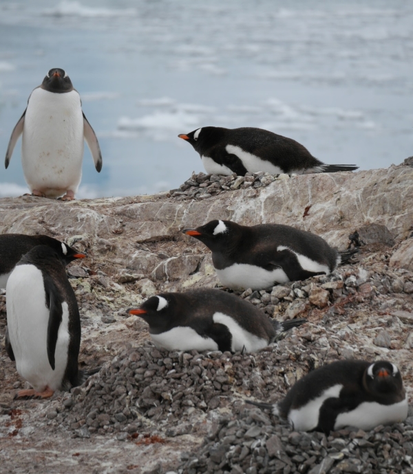
Gentoo penguins on pebble nests at Neko Harbour, Antarctic Peninsula. Photo: Chris Rowan, 2013.
The video below shows penguin geo-larceny in action: the commentary is a little silly, I’m afraid, but GeoKid found this routine fascinating and made me make up a story to explain what was going on.
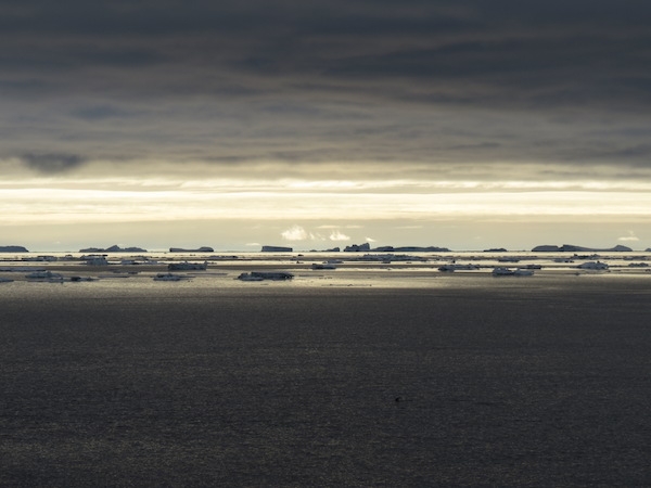
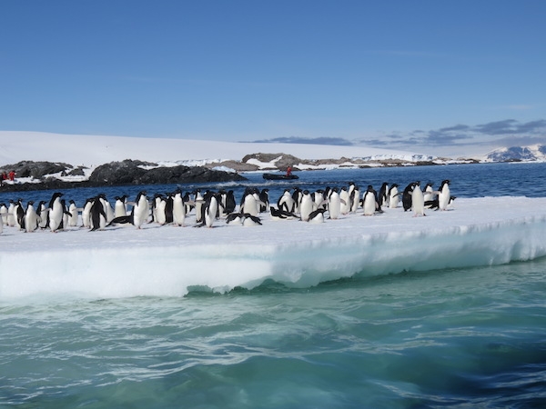
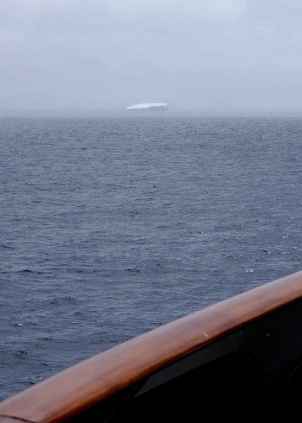
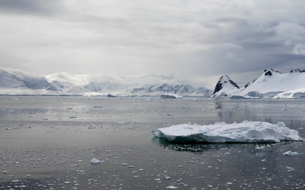
Anne: “On the zodiac ride back to the ship, we got a brief zip around some of the icebergs in the bay. As we cruised up the fjord, Chris and I skipped a lecture on ice in favor of standing on deck watching the glaciers, mountains, and icebergs go by.”
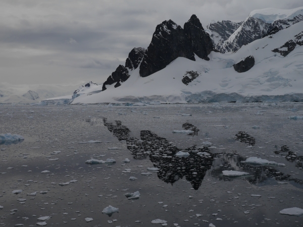
Chris: “The amount of ice in the bay was impressive, as was the fact that ship safely maneuvered through it. This was the first of several occasions where I realised that I would not be cut out for navigating Antarctic waters, as the first contact with ice would have me calling for full reverse. Fortunately for our expedition, our captain is made of sterner stuff.”
Carefully Nosing out of Neko Harbour, Antarctic Peninsula. Photo: Chris Rowan, 2013
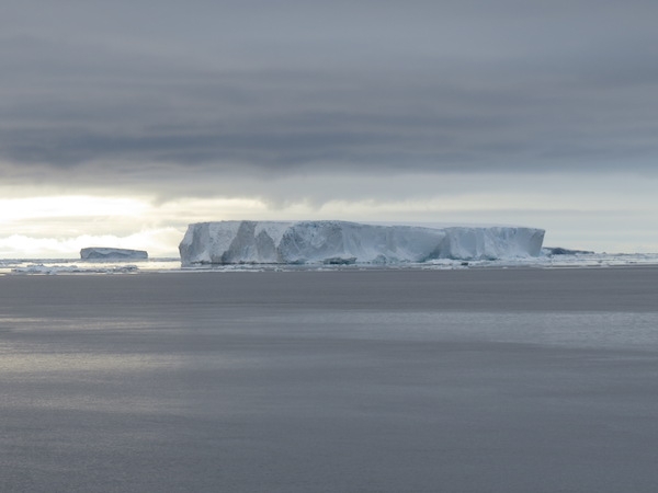
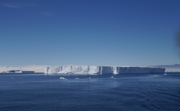
Our meteorological luck continued to hold, with water as still and reflective as a mill pond. Photo: Chris Rowan, 2013.
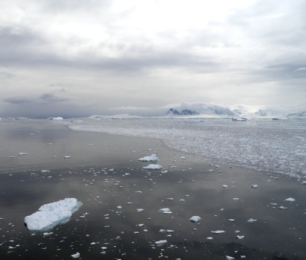
A denser patch of sea ice in Neko Harbour. Photo: Chris Rowan, 2013.
Anne: “After lunch we arrived at Cuverville Island, another Gentoo colony. GeoKid and I were on the first boat ashore and spent our time playing in the rather melty snow. We tried to make a snowman, but it was tough going, so we made a very small (and shortlived) one and then threw snowballs. On the way back to the ship, we got another nice iceberg tour while GeoKid improvised a song about wanting a faster boat ride.”
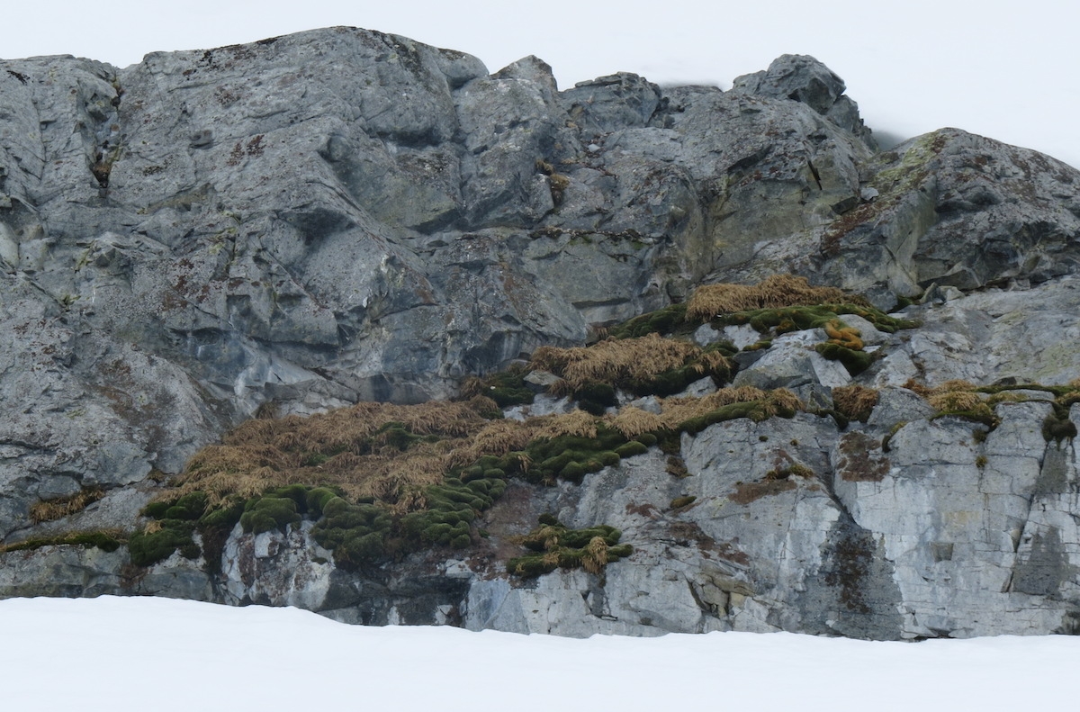
The most luxurious plant life we saw in Antarctica, on Cuverville Island. Photo by A. Jefferson, December 2013.
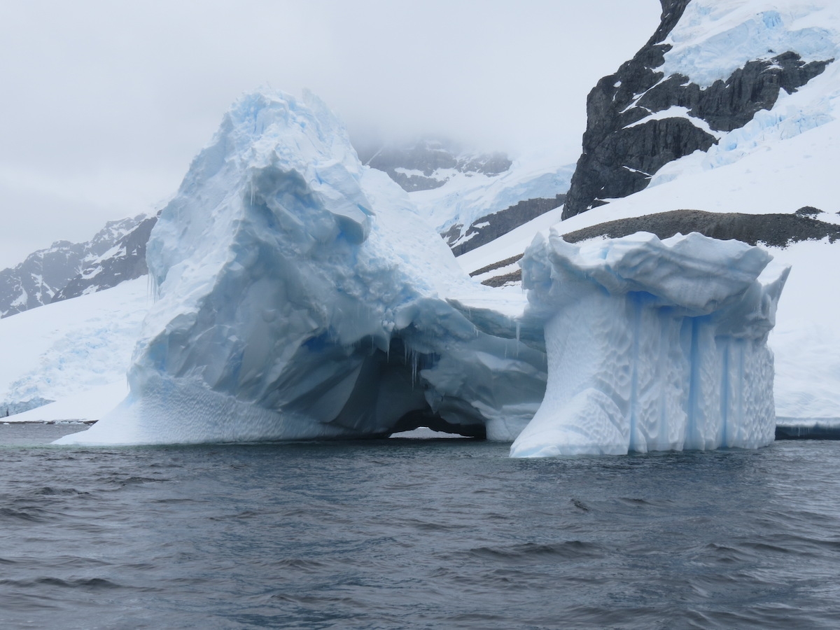
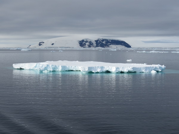
One of many spectacular bergy bigs just offshore of Cuverville Island. Photo by A. Jefferson, December 2013.
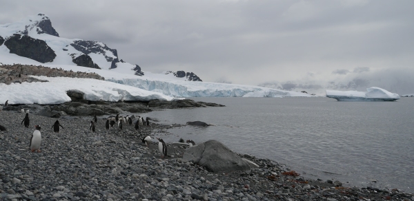
The landing beach on Cuverville Island. Gentoo Penguins in the foreground, glacier in the background. Photo: Chris Rowan, 2013.
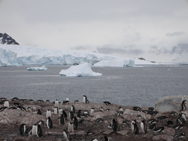
The Gentoo colony on Cuverville Island, Antarctic Peninsula. Photo: Chris Rowan, 2013.
Chris: Meanwhile, I was getting to hike uphill, taking a route of least disturbance for the wildlife, which sometimes made the going tricky. Although the penguins nest as close to the shore as possible, late arrivals are forced onward and upward, which means quite a commute when it’s time to feed. They are also more vulnerable to the skuas, which circle the area on the lookout for eggs to snatch.
A skua patrolling the skies, looking for easy pickings. Photo: Chris Rowan, 2013.
Skua buzzing the Gentoos, looking to snatch a poorly guarded egg. Photo: Chris Rowan, 2013.
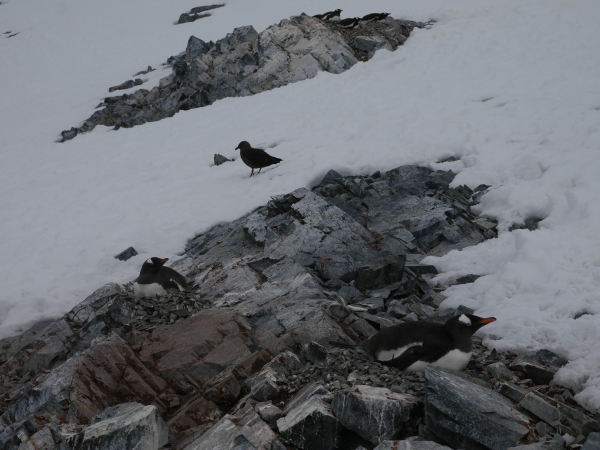
Higher, smaller, less densely occupied nesting sites are more vulnerable. Photo: Chris Rowan, 2013
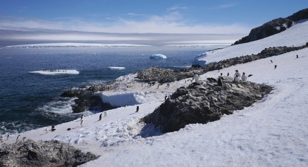
The view from the top was spectacular, and we were even treated to the sight of a small avalanche on one of the nearby slopes. Close enough to hear, not close enough to be a threat, fortunately.
But we could also see something a little more worrying: whilst we had been climbing the wind had changed and now sea-ice was being blown onto the landing beach. Too much, and we might be trapped onshore for a while.
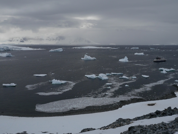
Sea ice accumulating on the landing beach at Cuverville Island. A worrying sight when that’s your route back to the ship! Photo: Chris Rowan, 2013.
A fairly rapid descent followed, followed by an increasingly hairy evacuation that fortunately the Corinthian’s crew handed with professional aplomb.
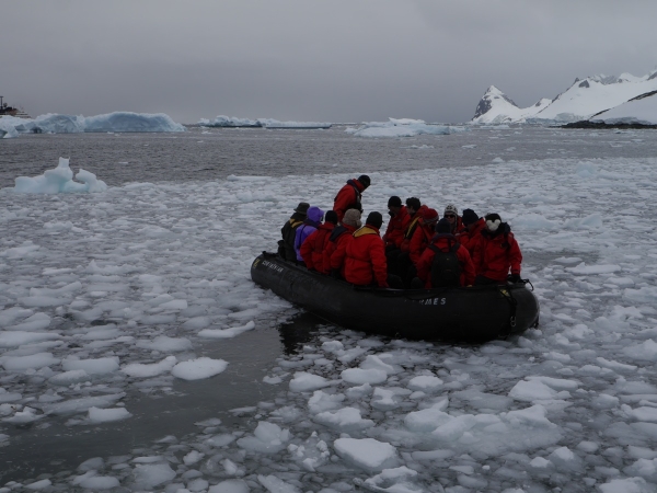
The accumulating ice made things very tricky for the zodiac pilots. Photo: Chris Rowan, 2013.
Thus I was reunited with Anne and GeoKid, and we could all enjoy a warm night’s sleep.
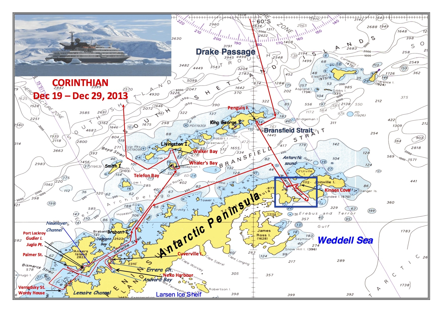
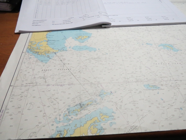
Where we were today:

Our areas of exploration on 23 December 2013 are shown inside the blue box at the lower left of the map.