![]() It’s been quite a week. My home in northeastern Ohio got off lightly from “Superstorm” Sandy, compared to places closer to the Atlantic seaboard and in the Caribbean. But still, over 250,000 people lost power due to high wind, especially in Cuyahoga and Lorain counties along the shores of Lake Erie, where huge waves also caused closure of an interstate and damage. Power crews are still working to restore power to tens of out thousands, and most schools and universities were closed for at least one day, if not longer.
It’s been quite a week. My home in northeastern Ohio got off lightly from “Superstorm” Sandy, compared to places closer to the Atlantic seaboard and in the Caribbean. But still, over 250,000 people lost power due to high wind, especially in Cuyahoga and Lorain counties along the shores of Lake Erie, where huge waves also caused closure of an interstate and damage. Power crews are still working to restore power to tens of out thousands, and most schools and universities were closed for at least one day, if not longer.
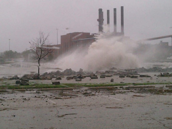
Waves from Sandy crashing against the Lake Erie shoreline in Cleveland. Photo from News Channel 5. Click image for link to source.
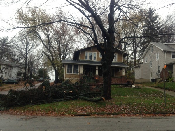
A tree down in my neighborhood, which took the branch of another one as it went. This same picture was the one featured on the local paper’s website story about storm damage. Does this mean it was the most dramatic tree to fall in Kent? Whether or not it was, these people got lucky the trees fell away from their house.
There was also some rain. At my house, I got 4.25 inches (108 mm), which is almost exactly what the forecasts predicted. It came as both a drizzle and as heavy rains, but since last Friday afternoon we haven’t seen the sun. Now, northeastern Ohio is supposed to be quite cloudy, but given the local grumbling, this might be a bit of an extraordinary gray and damp cold run. It wasn’t warm rain either, with temperatures neither climbing out of the 40s F (8 C) or dipping below freezing. Isotopic results are pending, but my money is on our moisture source being almost entirely that northern airmass that got itself entangled with the tropical cyclone. Again, any whining about the damp is pretty well offset by everyone acknowledging that we are extremely lucky compared to states to our east.
All that cold rain brought the local river levels way up. There was major flooding on the Cuyahoga River at the downstream end by Wednesday, and the river at its upstream-most gage in Hiram crested on Thursday night. Flow at Hiram peaked around 1900 cubic feet per second (53.8 cubic m/s), which as I eyeball it on the USGS annual peakflow graph appears to be about a 2-year flood. This is actually consistent with my eyeballed estimate of the flow frequency produced by Sandy on Passage Creek, near Callan Bentley’s house in Virginia. I wonder whether that will be consistent for other rivers affected by Sandy.
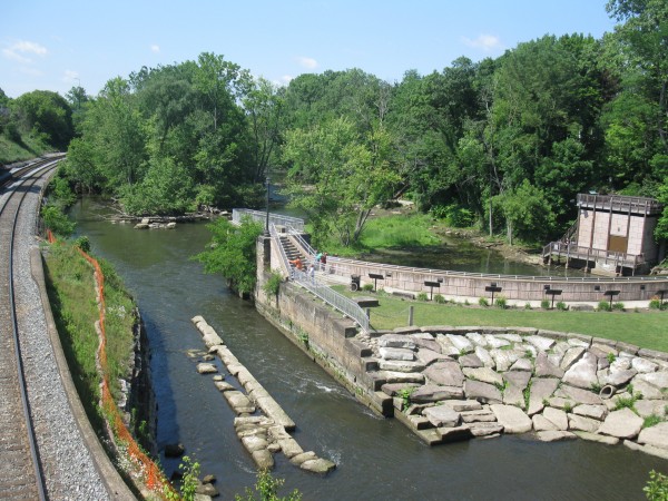
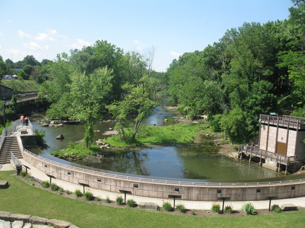
For me, this was the first chance to the Cuyahoga River in action as it flows through Kent. The river sits in a gorge than separates the two halves of town, and that seems to keep the river from endangering much property in the town. But it did make for a pretty impressive roaring site and sound as I crossed the bridges today. Here are two pictures of Heritage Park in Kent on Friday afternoon about 4 pm. Contrast that with the low water pictures from early June.
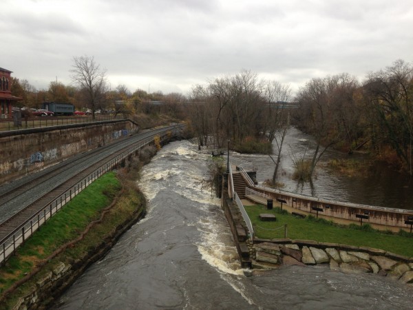
Cuyahoga River in Kent Ohio with impressive whitewater as it passes through an old lock. Photo at 4:15 pm November 2nd, 2012 by A. Jefferson.
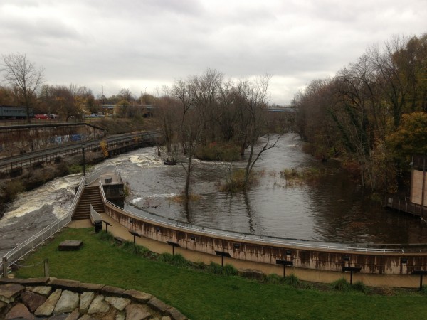
Note the water level relative to the trees and those vicious rapids downstream of the lock. The dam in the foreground has been taken off-line and turned into a Heritage Park. Photo by A. Jefferson 4:15 pm 2 November 2012.



Comments (1)
Links (5)-
-
-
-
-
Pingback: The wrong conditions for a stream tracer injection | Highly Allochthonous
Pingback: Anne’s November Navigations
Pingback: Anne’s November Navigations | Highly Allochthonous
Pingback: After the storm
Pingback: The wrong conditions for a stream tracer injection