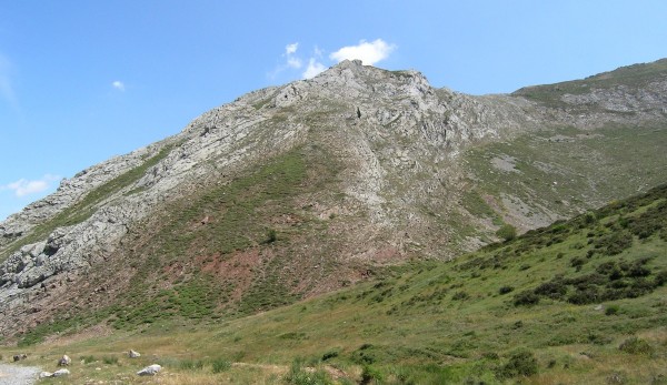
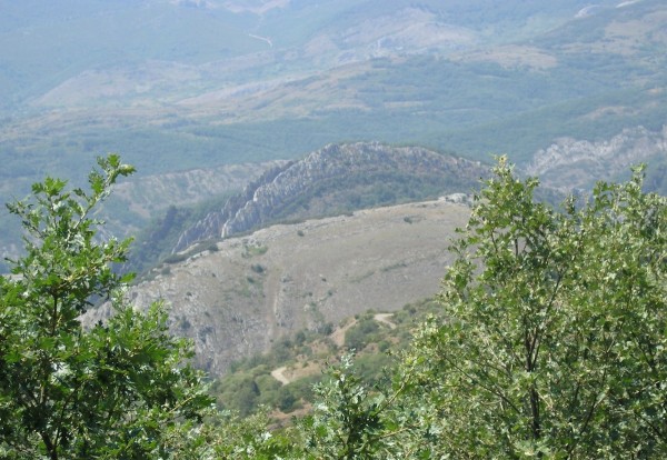
![]() As part of Earth Science Week, yesterday was geologic map day – a celebration of the importance of maps in geology. This had me waxing nostalgic about the weeks I spent teaching mapping in the Cantabrians of northwest Spain, before I set off on my multi-continental postdoc odyssey. It was a beautiful area:
As part of Earth Science Week, yesterday was geologic map day – a celebration of the importance of maps in geology. This had me waxing nostalgic about the weeks I spent teaching mapping in the Cantabrians of northwest Spain, before I set off on my multi-continental postdoc odyssey. It was a beautiful area:
What made it such a good place to teach mapping? There was good exposure – there were very few places where there was no outcrop at all. There were a number of distinct rock types – limestones, sandstones, and shales of Paleozoic age – that were relatively easy to distinguish from field observation. And the distribution of these rock types was interesting: if you look at the ridge of limestone in the picture above, you can see that the beds have been tilted from their original horizontal orientation to an almost vertical one – a result of this area being caught up in the in the Variscan orogeny. As well as the regional structure there was lots of interesting stuff at the hillside scale to encourage copious use of the compass clinometer.

Plunging antiform in the hillside, Cantabrians south of Villamanin, NW Spain. Photo: Chris Rowan, 2006.
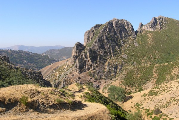
The whole region was also a beautiful example of the landscape being controlled by lithology, with high ridges of hard limestone and quartzite separated by valleys of more easily erodible shales. One distinctive unit had two narrowly separated limestone beds with shale units above, below and between, forming what we colloquially referred to as ‘stegosaurus ridges.’

‘Stegosaurus Ridge’ of vertical limestone beds in shale, Cantabrians south of Villamanin, NW Spain. Photo: Chris Rowan, 2006.
So, plenty to stimulate the mind of budding geologists. Feel free to reminisce about your favourite mapping areas and what made them special in the comments. And, while you’re at it, consider giving a few dollars to help support teaching the next generation of mappers.


Comments (3)