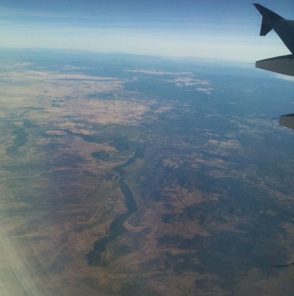
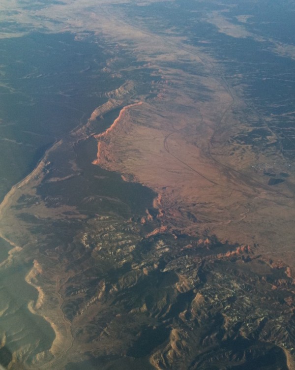
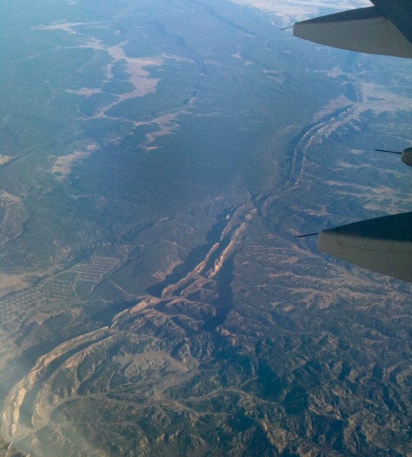
Earlier this week, geoblogger Michael Klaas pointed me in the direction of a lovely set of paintings of landscapes viewed from the windows of airliners as they traversed America. These pictures reminded me of some photos that I took at the end of last year on a flight from Chicago to Phoenix:
As well as being quite handsome to look at, there’s a tantalising glimpse of some interesting geology in the landscape I was flying over. The steep cliff faces indicate layers of hard rock – probably sandstone or limestone. The fact that there is a series of them suggests that there are some softer, more easily eroded layers – a mudstone, perhaps? – between them. In the second picture, the formations are dipping into the earth, away from the direction I am flying in; so in a sense, my flight is taking me back in time, a story of past Earths and changing environments rewound below me as I travel onwards. The final picture is particularly tantalising, though: it shows a double ridge, which looks to me like two closely-spaced sandstone or limestone beds tipped almost up on their ends, so that they are plunging almost vertically into the Earth. That suggests folding. And you know how I like folding.
The problem is that I’m not sure exactly where I was in the western US when I took these photos. I was definitely closer to Phoenix than Chicago, but I’m not sure if I was snapping Arizona, Colorado or Utah. Perhaps one of my readers can help? Consider it a challenge: a Where On (Not Google) Earth, if you will.


Comments (3)