![]() Unable to resist the travel meme any longer, I present some snapshots of my adventures in, on, or near water in 2010.
Unable to resist the travel meme any longer, I present some snapshots of my adventures in, on, or near water in 2010.
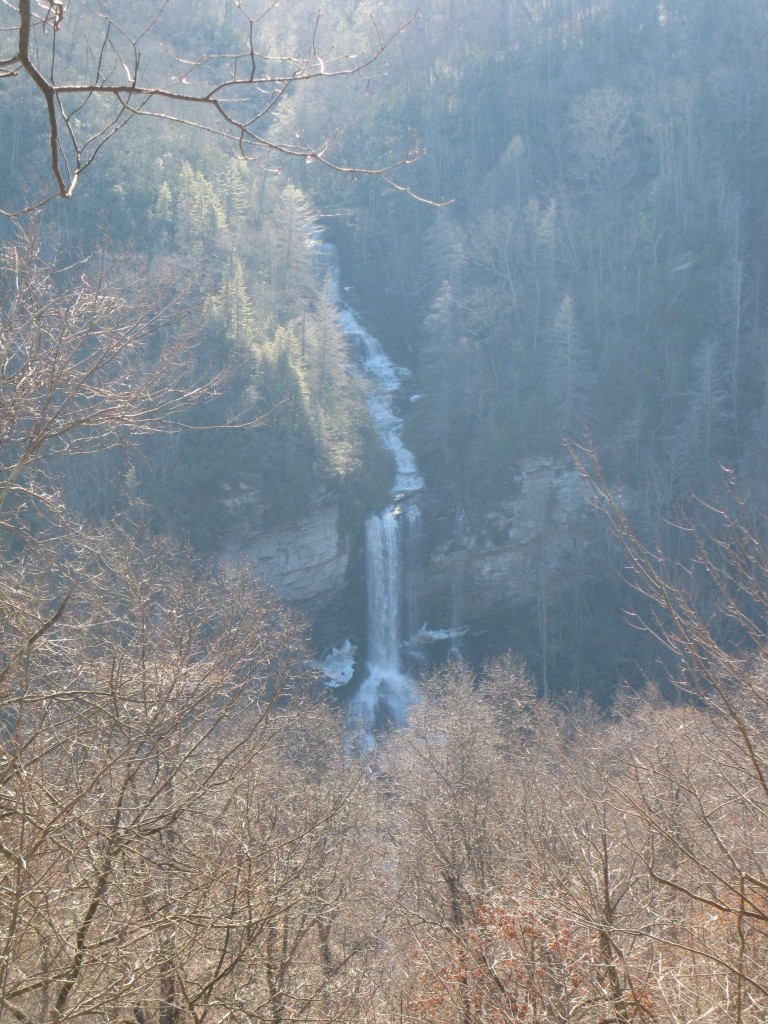
In January, I attended ScienceOnline 2010 and then took my co-blogger on a trip to the edge of the Blue Ridge Escarpment, where streams have been working for millions of years to wear away the Appalachians. One result of their work is a profusion of spectacular waterfalls…or as geomorphologists call them, knickpoints.
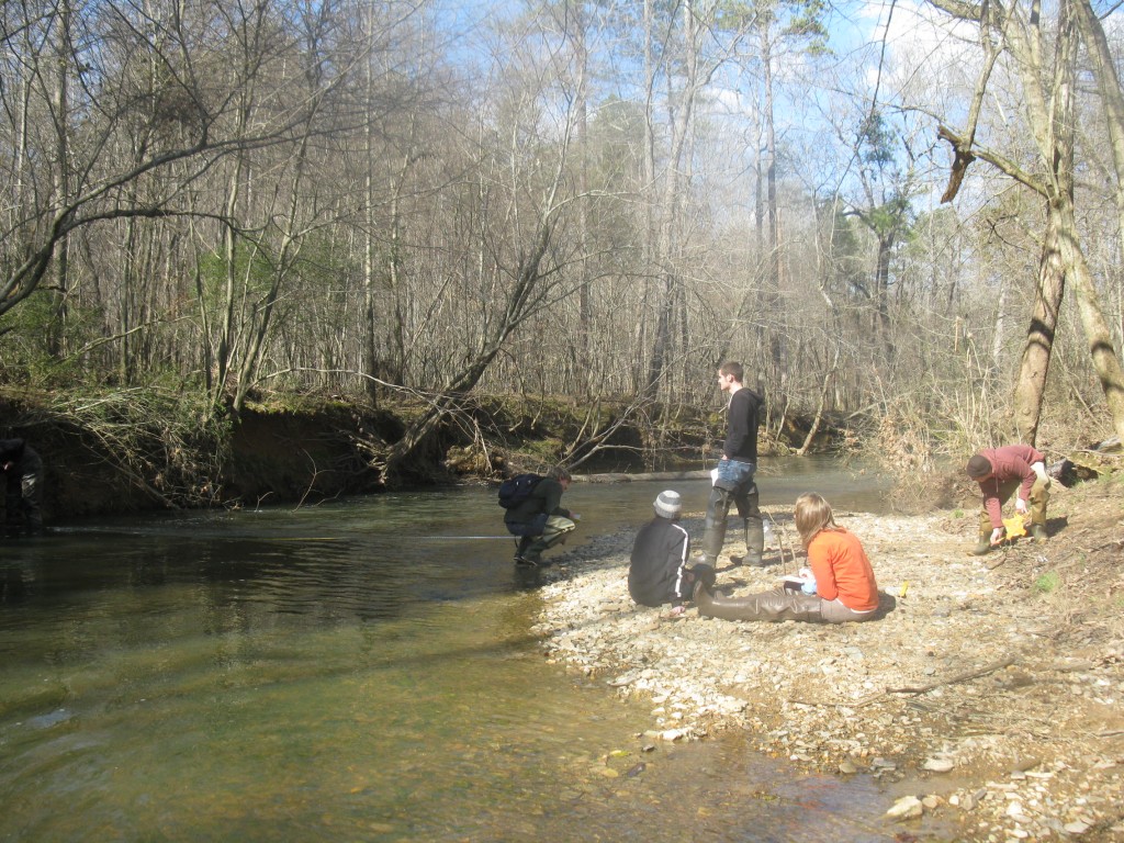
In March, my spring field trip season kicked into gear with visits to Goose Creek in Union County, just east of Charlotte for my students to practice some basic hydrologic and geomorphic measurements and then to the Jacob Fork River in South Mountains State Park to see (and characterize) a very cool mountain stream.
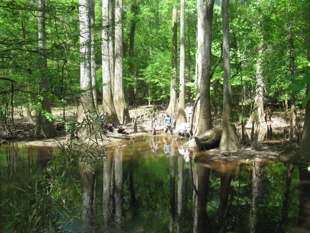
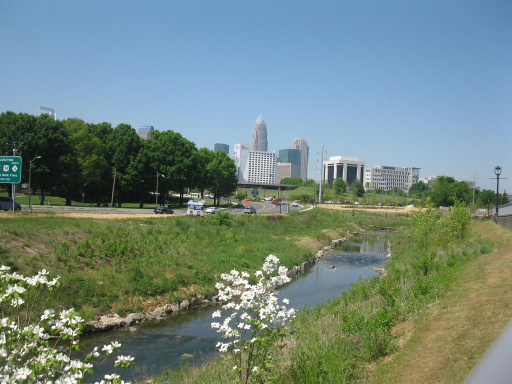
In April, the field trip bonanza continued with a trip to Congaree National Park in South Carolina for my hydrogeology class (jointly with the hydrogeology class at the College of Charleston) to explore shallow groundwater and groundwater-stream interactions in the coastal plain. My fluvial processes class turned its attention to urban streams, starting with a tour of local stream restoration projects by Mecklenburg County staff and culminating in their end-of-semester project to assess the stream that runs through campus.
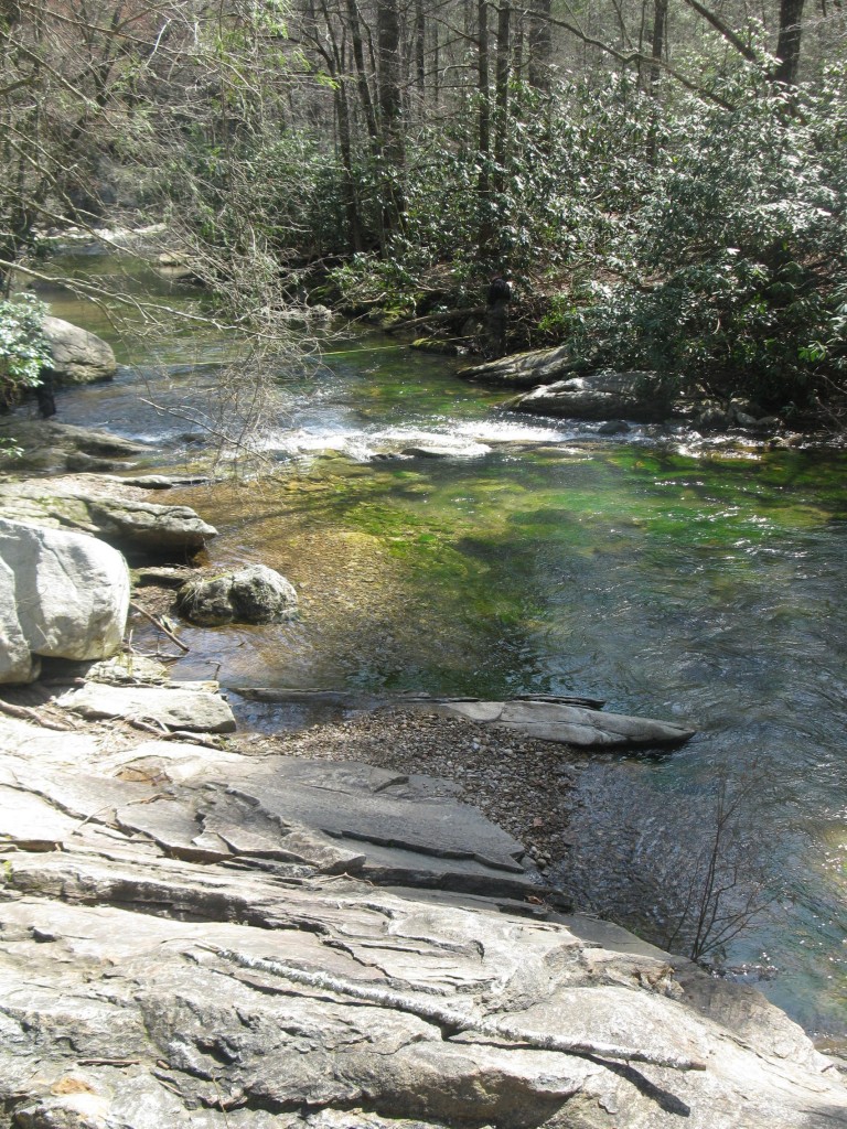
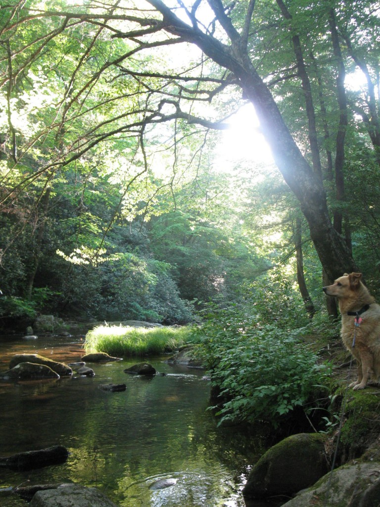
In May, I returned, sans class, to South Mountains State Park to explore some lower reaches of the Jacob Fork River (and try out some camping gear).
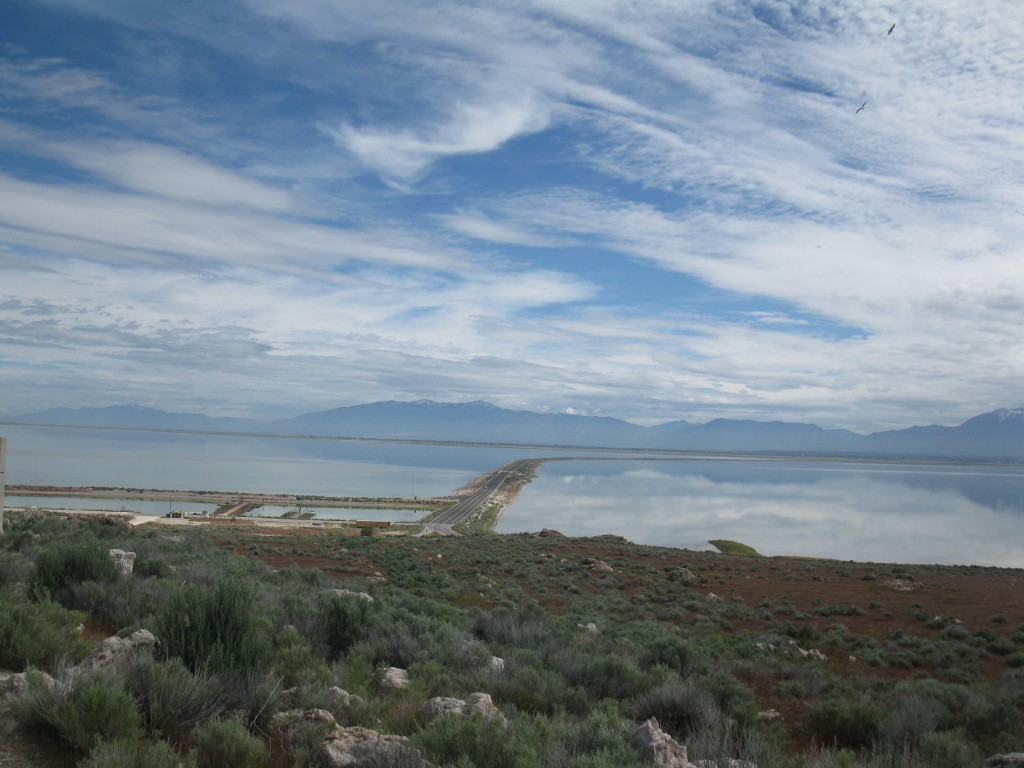
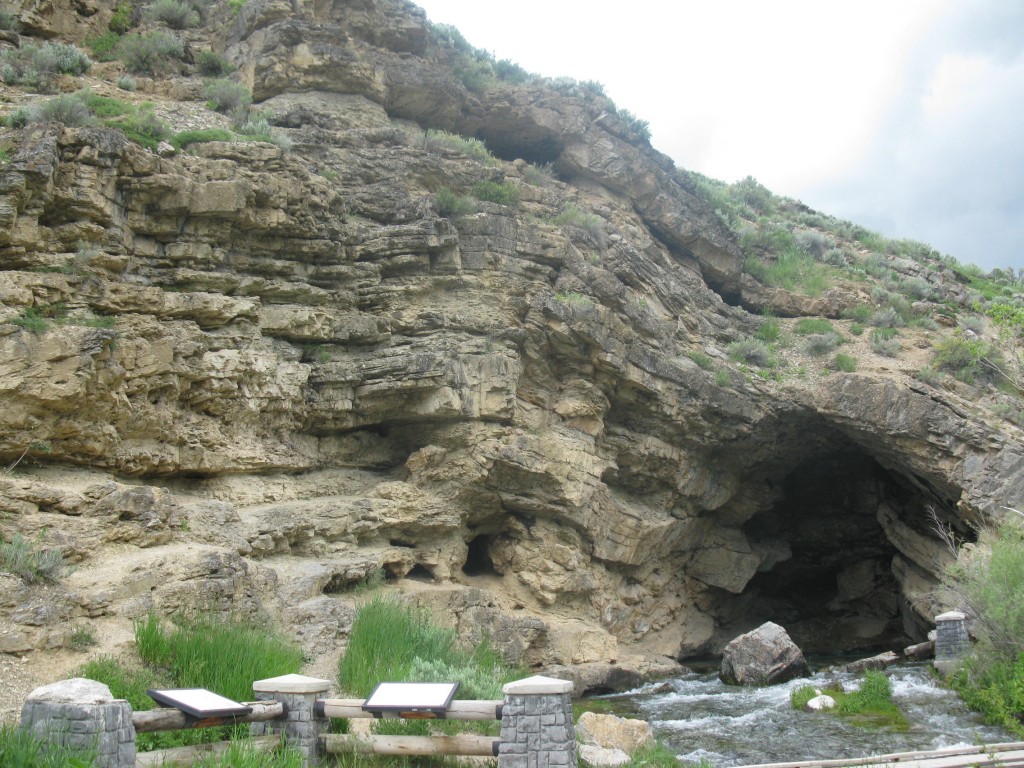
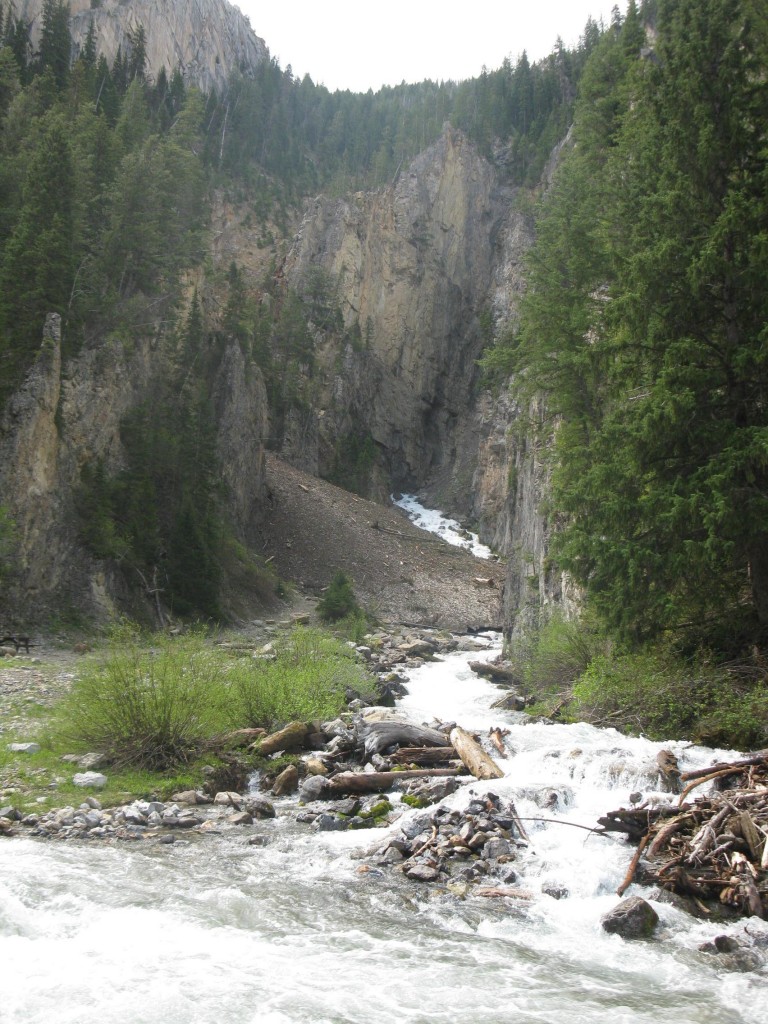
In June, I put the camping gear to use on a western adventure that included stops on Antelope Island in the Great Salt Lake, Utah’s Bear River Mountains, and Wyoming’s Salt River Mountains.
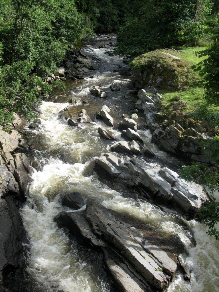
In July, I made my way to the UK and toured Edinburgh Castle. I also paid a visit to Scotland’s Cairngorm Mountains, which have an important place in the realm of watershed hydrology, for some of the watersheds which they contain have been intensively studied by scientists at the University of Aberdeen, and their work has been quite important in advancing our understanding of watershed processes and techniques for investigating them.
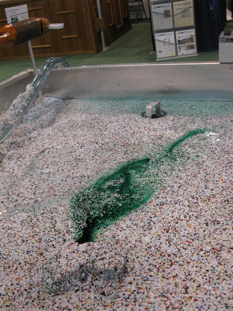
At the end of October and into early November, I was at the Geological Society of America meeting in Denver, where I couldn’t resist playing with Little River’s EmRiver model. In the picture below, I’d injected dye into the subsurface along a hyporheic flowpath (through a sort of landslide dam) and dramatically saw it breakthrough into the stream below.
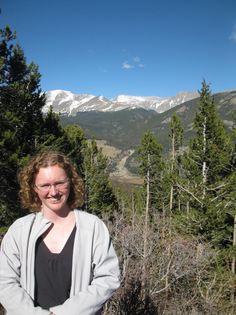
Also at GSA, I attended the Kirk Bryan field trip to Rocky Mountain National Park, led by Ellen Wohl, Sarah Rathburn, and their students. We drove through the infamous Big Thompson Canyon, heard about the geomorphic effects of beavers on meadows and valleys in the park, and got to see (from a distance) at least the legacy of the Lawn Lake dam failure flood. In the image below, next to the happy hydrologist, is the alluvial fan created when the flooding waters of the Roaring River met the gentle valley of the Fall River.
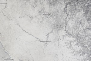
In December, I traveled to the American Geophysical Union meeting in San Francisco. Getting there was an adventure in and of itself. Charlotte to Atlanta to circling Minneapolis to landing in Moline, Illinois, to Atlanta to San Francisco over the course of 24 hours, with a 3 year old, was not the original plan. Neither was 17.1 inches of snow in Minneapolis – the fifth largest snow fall in the historical record. At least the way home was slightly smoother – only a 3 hour delay awaited us – as we beat the worst of Pineapple Express rain that pounded California for a week.
I was too busy teaching and traveling to blog most of my 2010 adventures, but if one of the pictures above catches your eye and you want to know more, drop me a line in the comments and maybe I’ll manage to belatedly blog about it. The first few weeks of 2011 are looking rather busy, but most of the next year is a blank slate waiting to be filled with more adventure. I’ll try to keep you posted.



Comments (4)