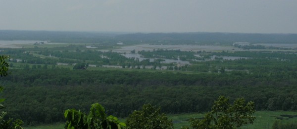
Driving and hiking along the escarpment of the LaRue-Pine Research Natural Area afforded expansive views of the flooding – and the remnant landscapes of previous millenia of river activity.
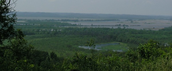
Figure 2. Foreground: An abandoned channel remains as a wetland. Background: Levees and flooding along the Big Muddy River. (Click for larger version)
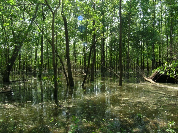
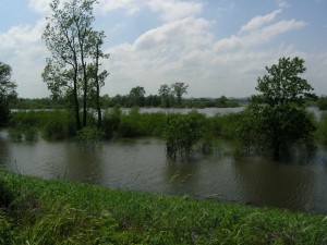
Once we descended from the hills and onto the floodplain, we were immediately greeted by floodwaters.
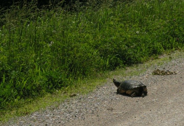
Driving away from the hills towards the Mississippi, our road took us along the top of the levee, giving us close up views of the effects of leveeing, levee repairs, and local wildlife.
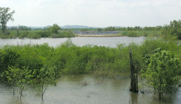
Figure 7. Temporary levee repair along the Big Muddy. The plastic sheeting and sandbags may be covering an area that had cracked or started to erode (click for larger).
After crossing the Big Muddy River, we drove along a state highway that was not atop a levee, and only a few feet above flooded fields. Egrets and herons were everywhere in the standing water, and a pleasant breeze whipped up waves on the water. But we were reminded that this scene was normally not so watery…in the image below, you might be able to see a center pivot irrigation line in the field, standing in the flood waters.
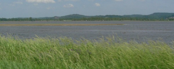
Figure 9. A flooded field, with an irrigation line. Normally, this landscape would not be so blue. (Click for larger)
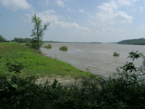
Finally we reached the Mississippi itself, in Grand Tower, Illinois. The river was definitely high, but open for business – we watched a tow and barges go by. The town of Grand Tower is situated immediately adjacent to the Mississippi – and protected by a big levee. Near the north end of town, the levee was a few feet lower than the rest, and here a metal floodwall had been constructed atop the levee. There was also evidence that a pumping operation had been set up – to pump water from behind the levee back into the river. Whether this pumping was necessitated by seepage or localized ponding, I couldn’t tell. But here, in a sleepy little town on the Mississippi, the effects of our efforts to keep floodwaters off the floodplain were in full display.
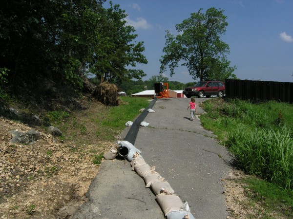
Figure 10. A pumping and a floodwall atop a levee (on right side of photo) in Grand Tower, Illinois.



Comments (2)