A short FAQ on earthquakes and fracking

A post by Chris Rowan

So, I’ve been hearing that hydro-fracking to extract shale gas can cause earthquakes. Is that true?

Yes. A report released just last week concluded that some moderate earthquakes off the northwest coast of England in 2010 were caused by fracking, finding a strong correlation between seismic activity and injection of fluid down a nearby gas well (see this excellent write up by Eric at the Dynamic Earth). Another recent report cautiously suggested a similar association between hydrofracking and an increase in seismic activity in southern Oklahoma.

Oklahoma, you say? Where there were those big earthquakes last weekend?

There were indeed a couple of fairly big earthquakes in central Oklahoma last weekend. However, whilst earthquakes of this size are relatively uncommon in the interior of the US compared to, say, California, they are not unusual from a geological perspective. There is nothing to suggest a link to any shale gas drilling.

They’re certainly a lot bigger…

Yes, the earthquakes associated with fracking in the studies mentioned above were mostly magnitude 1.5-2.5, and all were less than magnitude 3. They therefore released many thousands of times less energy than the magnitude 4.6-5.6 earthquakes that made up the main shocks in Oklahoma. Basically, if we had the ability to pump that much energy into the ground, we’d probably be beyond the need to drill for shale gas in the first place.

The other argument that I’ve heard against these earthquakes being caused by fracking is that they’re also deeper.

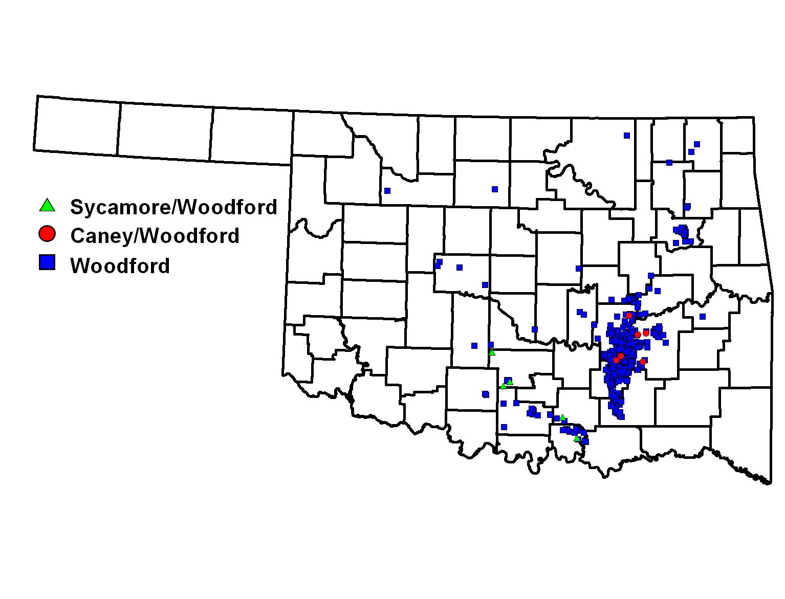
This is potentially a little misleading. The earthquakes had a depth of around 5-7 km, which is not ‘too deep’ in the sense that we can’t drill wells that deep; we certainly could if we needed to. The key point is that the horizon being targeted by the gas drilling in Oklahoma is apparently mainly found at 1-3 km depth (see p49 of this pdf). Perhaps even more importantly, the majority of the drilling is in counties to the southeast. It is geography rather than any inherent properties of the earthquakes themselves that definitively rules out drilling as a suspect: it appears there is no gas drilling going on near the Wilzetta Fault, and the seismic activity that fracking can trigger seems limited to within a few kilometres of a well.

So fracking only causes small, localised earthquakes around the wells?

Directly, yes. There is, however, potentially a way that fracking could indirectly trigger a larger earthquake; if the drilling was close to an active, loaded fault that was close to rupturing, pumping fluids at high pressure into the subsurface could weaken the fault enough to enable it to rupture.

As I just said, that is clearly not a possibility here. And as far as I am aware there are no recorded instances of a significant (i.e., damaging) earthquake being directly linked to fracking, or even a large earthquake where a link has even been proposed. Given how many hundreds – thousands – of shale gas wells have been drilled in the US alone in the past few years, it seems clear that there is very little real-world risk in most cases. Or alternatively, the maximum size of earthquake that can be triggered is limited due to the small areas affected by fluid injection, and the kind of event listed in the studies I mentioned earlier – magnitude 2-3 or less – is the most we need to worry about except in very specific cases.

So I can stop worrying about fracking then?

If all you’re worried about is earthquakes, yes. However, there are still valid concerns over contamination of groundwater with fluids of unknown composition (although this seems to be more of an issue with poor well sealing and storage after use than the fracking process itself). Not to mention the fact that shale gas, sold as the answer to all our energy problems (even if not a particularly carbon neutral one), may have been a little oversold, and turn out to be a temporary stopgap at best.

So, to sum up: while there are plenty of important reasons to scrutinise this fracking business, the risk of triggering earthquakes is not one of them?

So say we all.

Categories: earthquakes, geohazards, public science

The Oklahoma Earthquakes

A post by Chris RowanThere was some slight seismic excitement over the weekend in central Oklahoma: a magnitude 4.7 earthquake shook things up early on Saturday morning, which turned out to be the prelude to magnitude 5.6 tremor late Saturday evening. The focal mechanisms (4.7, 5.6) are similar, show largely strike-slip motion, and according the Oklahoma Geological Survey, apparently occurred on a known subsurface fault, the Wilzetta fault, which has an east-northeast trend. Both earthquakes are consistent with dextral strike-slip on this fault, with the northwest side of the fault moving right (NNE) relative to the southeast side.

Focal mechanisms for the two largest earthquakes that shook central Oklahoma on 5th and 6th November. Both show right lateral strike-slip motion, and appear to be due to motion a known subsurface fault (the Wilzetta Fault). Map source: Leonard Geophysical Laboratory

The Wilzetta fault is part of a belt of ancient, buried thrust faults that runs through central Oklahoma and north into Kansas (this pdf is the best resource I found). This thrust belt was first active in the Carboniferous period, 350-300 million years ago, in the later stages of the continental collision that formed the Appalachians. Even when the tectonic forces that created them have long dissipated, faults are still weak points in the crust; and even far from an active plate boundary, the motion of tectonic plates across the mantle can generate stress. If that stress is aligned in the right direction, the scars of ancient orogenies such as the Wilzetta fault can still respond to them, generating earthquakes large enough to cause some damage.

Earthquakes are certainly not unknown in Oklahoma, and another reactivated thrust fault in the south of the state, the Meers fault, produced a strong enough rupture some time in the last millenium to produce an impressive scarp. But these two earthquakes, and a magnitude 4.3 in the same region last October (which had a similar focal mechanism) are three of the four or five largest tremors recorded in the last 150 years or so: lower-level seismic activity has also clearly ramped up in the last three years, with many more earthquakes in central Oklahoma that you would have expected based on records of the past century.

Earthquakes in Oklahoma, 2006-2011

Earthquakes in Oklahoma since 2006. Note the sharp uptick in the past 3 years (click to enlarge). Source: Leonard Geophysical Observatory.

This fact does not mean that we could have predicted the weekend’s earthquakes, although I suppose it makes having them here less surprising that in a region which has remained totally quiet seismically. I do find myself pondering Seth Stein’s ideas on how earthquakes in plate interiors might be more distributed, with the locus of activity shifting between different regions over time.

For more on this earthquake, check out blogging from the The Trembling Earth, Paleoseismicity and Seismo blog, amongst others. I also highly recommend taking a few moments to appreciate this cool animation of the seismic waves generated by the biggest earthquakes propagating through the Earthscope transportable seismometer array. And possibly even cooler than that, all the birds and insects that were startled into the air when the shaking started were picked up on radar. Radar! Science is really awesome sometimes.

Categories: earthquakes, focal mechanisms, tectonics

Writing Challenge, Week 1: Are you making progress?

A post by Anne JeffersonIt’s been a week since I issued the initial challenge to join me in a month-ish of intense writing activity. I’ve seen use of the #sciwrite hashtag pick up on Twitter, and 41 of you have now publicly committed to the project. As promised, here is a weekly check-in post documenting my progress and struggles during the week, and asking you to share yours. My update is below the fold, and I hope you’ll share yours in the comments here or on your own blog, with a link here. Remember, this is all about mutual support and accountability! Chris has also made this charming icon that you are welcome to use on your blog, if you’d like. Sciwrite logo, by Chris Rowan

So, how’s it going? Are we making progress?
Continue reading

Categories: academic life, by Anne

Stuff we linked to on Twitter last week

A post by Chris RowanA post by Anne JeffersonAnne has an article in this week’s Eos about the conference she went to in the Galapagos this summer. It is paywalled, annoyingly, but if you don’t have access and would like a copy of the article, let us know in the comments and we’ll email it out.

Other posts on All-geo

Earthquakes

Volcanoes

Tectonics

Fossils

(Paleo)climate

Water

Environmental

General Geology

Interesting Miscellaney

Categories: links

Scenic Saturday: Whitewater rafting in Charlotte, North Carolina.

A post by Anne JeffersonThis semester I am teaching a class on fluvial (river) processes that encompasses aspects of both hydrology and geomorphology. One of my goals is to take my students to as many of sizes and shapes of river as possible over the course of the semester. Usually, we go on one Saturday field trip that lets us experience a mountain river, but this year, scheduling conflicts made that virtually impossible. Instead, we took a lecture + lab period, stayed a little closer to home, and viscerally experienced a totally unnnatural mountain river at the US National Whitewater Center.

First view of the whitewater channel, photo by A. Jefferson

First view of the whitewater channel. Downstream of the bridge, note the supercritical flow, hydraulic jump, and downstream standing waves. These are features of mountain channels not frequently seen in lowland streams.

Basically, the whitewater contains two channels filled with rapids that empty into a big pool. Water is pumped from the pool at the bottom back up to the pool at the top and the raft (and the people on the raft) get pulled back to the top on a big conveyor belt. When no one is rafting or kayaking, the pumps are turned off and all of the water drains to the bottom pool. You can see that lower pool in the background of the top photo.

Going down the channel there’s a series of rapids that look something like this. Sometimes bigger, sometimes tighter, and sometimes at a curvy point in the channel.

Hydraulic jump at the USNWC (photo by A. Jefferson)

The smooth tongue of water pouring over the drop just to the left of the channel centerline is supercritical flow, and the whitewater at the base is the hydraulic jump where flow becomes subcritical again.

The facility was built for a mix of casual visitors who pay for a guide to take them on a 90 minute raft ride and serious kayakers training for international competition. The Olympic whitewater kayaking trials were held here in 2008. The poles hanging from wires in the photos above can be moved around to set different courses for the kayakers. So the channel was designed to allow each rapid to run in ways ranging from mildly exciting to likely to catapult you out of your raft.

2011October 035

Looking up the channel.There are multiple lines to run in these rapids, some harder than others

The guides do a good job of tailoring the experience to the level desired by the people in their raft. Our group divided into two raft. One filled with students who wanted to go wild, and they did, all ending up out of the raft at least once during the trip. Most of the students in the other raft had never been on whitewater before so decided to start a bit milder, but we still had our excitement by the end. And I don’t think I’ll ever forget the look on my grad student’s face as she tried to haul me back into raft after I got thrown out surfing a rapid and came up on the other side of the boat. I think she was far more terrified than I was – she might need a new thesis advisor!

After our raft trip was over we had some time to explore the other adventures to be had at the Whitewater Center. There’s flatwater kayaking, mountain biking, climbing walls, ziplines, and places just to relax and watch the water. I took the following video of some other rafters going down the rapids pictured above. I’ll note that they all seem to manage to stay in their boats.

Fun! With a side dose of education. That sentiment seems to be the consensus on the student evaluations I gave out last week — the whitewater trip has been a highlight of the semester.

Categories: by Anne, geomorphology, hydrology, science education