Currently browsing tag

precipitation

New publication: Coevolution of hydrology and topography on a basalt landscape in the Oregon Cascade Range, USA

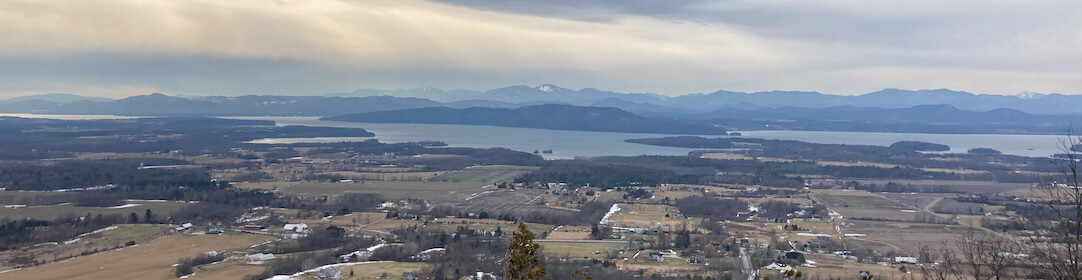
How does a landscape go from looking like this… to looking like this? Find out in my new paper in Earth Surface Processes and Landforms. Hint: Using a chronosequence of watersheds in the Oregon Cascades, we argue that the rates and processes of landscape evolution are driven by whether the …

Snowfall map from 1-2 March 2009

The National Weather Service has produced a pretty map of snowfall totals from the storm a few weeks ago.  Mecklenburg County (Charlotte) got around 4″, which is a hair more than I measured at home on Monday morning (~3.5″ plus an ice layer). At our field site in Gaston County, …

A few semantics about climate variability and change

Last week, the Southeastern United States received several inches of snow. This late season snowfall was certainly a novelty, though not an unprecedented occurrence. But it did stir up conversations among local residents, especially when the week ended with ~25 degree Celsius (75 Fahrenheit) sunshine. The weather’s fickleness also got …

Fay's rainfall distribution

The USGS has released an interpolated precipitation map from the rain/flooding event brought on by Tropical Depression Fay last week. The worst flooding and damage occurred in northeastern Mecklenburg County in the region around UNCC and Cabarrus County in the towns of Concord and Harrisburg. No surprise that those areas …