This is part 2 of a series of posts seeking to describe everything of interest on a walk along the edge of Cheshire, in England’s Peak District. Part 1 ended as I left Sutton Common, my mood lifting as the ground dropped.
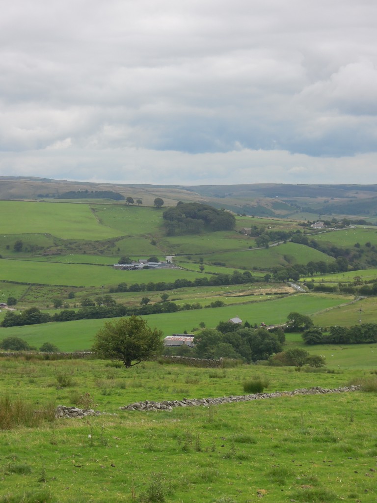
Descending the hill I passed a small house with a pigeon coop in the garden. On top there are two plastic birds of prey and occasionally, recorded bird noises sound out. It guess it is some of defence against real predators, but it can’t be good for the mental health of the pigeons inside. These are racing pigeons – there is a small and lovely film about the owners.
 Passing over a little col and a main road I find myself on a high wide ridge with two odd names. The western side is Bosley Minn, the eastern Wincle Minn and the track I’m walking along is Minn-End Lane. Bosley and Wincle are the nearest villages and Minn most likely comes from the Welsh mynydd meaning mountain or moorland – a reminder that Celtic languages were once spoken in England too.
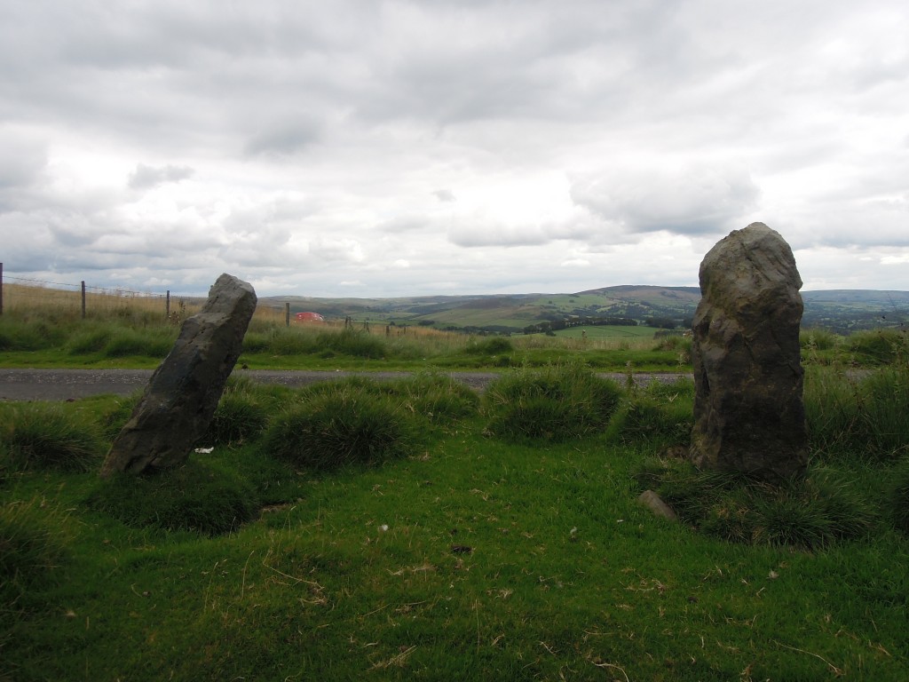
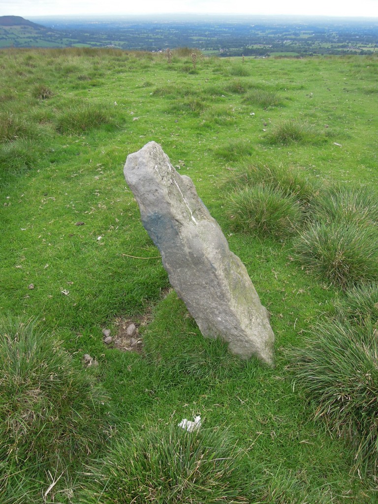
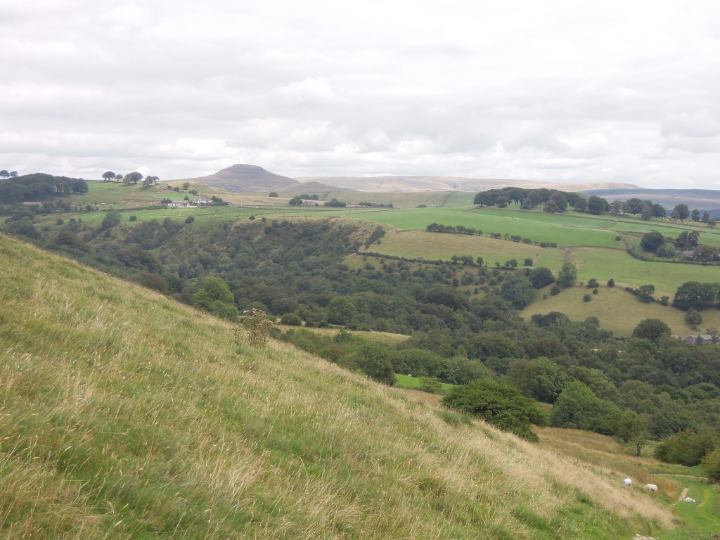
There are traces of pre-Celtic cultures here too; there are standing stones on the Minns. They’ve been used as gate posts, but people who know more than me suggest that some of them are ancient standing stones. The area is rich in pre-historic remains; Cleulow Cross nearby is an ancient artificial mound crowned by a later Anglo-Saxon cross. It sits in a clump of trees located high on a ridge that has been catching my eye since the beginning of the walk.
Up close the Minn stones have patches of an odd blue tinge. Sadly this is not ancient woad dye but rather scrapings from modern itchy sheep, spray-painted bright blue by the farmer.
Barrows and standing stones are often found in prominent positions in the landscape, within sight of each other. It is humbling to think of humans, potentially my ancestors, viewing this same landscape in totally different ways. These monuments suggest a whole layer of meaning, mythical or religious was once overlaid on these hills and valleys, but is now completely lost.
I’m on the edge of the Cheshire plain and it is hard to take my eyes off The View. It’s a clear day and my attention is caught by a sudden sharpness on the horizon – Snowdonia. All around me are rounded landforms, smooth hills and undulating plains, but these distant Welsh mountains have sharp peaks and steep cliffs. This difference is due to ice and its ebb and flow across this landscape.
To a geologist, we are living in an Ice Age. For great periods of time the earth has had no ice at all – even the Poles were free of it. But Ice Ages are not static. The amount of ice changes in great cycles, driven by tiny changes in the spin of the earth. Today we are in a relatively warm period, called an interglacial – the ice has retreated to high mountains or the far north. During the last cold period (around 20 thousand years ago) everything to the west of here was covered by a thick ice-cap. We know that ice flowing into east Cheshire came from the Lake District as it left behind fragments of rock from there, some of them very large.
The ice failed to cover all of the Pennines, England’s central spine. Looking to the east we’d have seen the edge of the ice sheet. Shutlingsloe, the most distinctive peak in the area is through to have peeked out through the ice, forming a feature called a nunatak.
As the cycle of climate shifted warmer, the ice sheet melted, leaving behind thick deposits of ‘boulder clay’ over a smoothed landscape. There was a brief reversal in the warming trend around 12,000 years ago. In Britain, this ‘Younger Dryas’ event caused ice to return – the ‘Loch Lomond readvance’. The ice was restricted to mountainous areas, forming valley glaciers rather than an ice cap. These glaciers explain the spikiness of Snowdonia in the distance.
It feels like I am floating above most of Britain here. These uninterrupted views were once briefly of use to military men at the dawn of electronic warfare. In 1941 the air war above Britain was making full use of the new Radar technology. German bombers were flying at night into Britain along special radio beams. These allowed them to fly low (avoiding detection by British radar) and to find their targets. The ‘blackout’, where every house covered their windows and even car headlights were masked, was designed to ensure the enemy couldn’t find their target cities.
In response to this new threat, the RAF developed Meacon, a system that jammed the German beams and confused the incoming bombers. For a short while, one of these transmitters was sited at the very top of the ridge, sowing electronic confusion across the country. The evolutionary game of technological development soon moved on and not a trace remains.
My path takes me off the ridge and down the side. The wind suddenly drops and it feels like I’m entering a new world.
The final part is now up.


Pingback: The edge of Cheshire. Part 1 – traces of apocalypse | Metageologist
Pingback: The edge of Cheshire. Part 3 – abandoned | Metageologist