
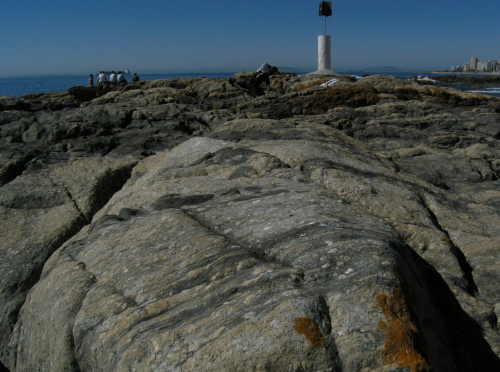
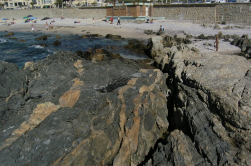
It will come as quite a surprise to most of you to hear that this is my last day in South Africa. A couple of months ago, I was offered a Marie Curie post-doc at the University of Edinburgh, and tonight I’m boarding a plane back to the UK – this time to stay. Well, for a couple of years at least.
To be honest, I don’t think it’s sunk in yet that I’m leaving. Once my head has got round it all, I’ll probably be in a mood more conducive to telling you about my new research, the wheres and whyfores of my move, and some reflections on what I have got, personally and professionally, from my two years in South Africa.

-
Archives
- September 2025
- July 2024
- March 2024
- January 2024
- October 2023
- August 2023
- July 2023
- May 2023
- March 2023
- February 2023
- December 2022
- November 2022
- September 2022
- July 2022
- May 2022
- November 2021
- October 2021
- September 2021
- August 2021
- August 2020
- July 2020
- May 2020
- April 2020
- March 2020
- January 2020
- December 2019
- August 2019
- March 2019
- February 2019
- January 2019
- June 2018
- May 2018
- February 2018
- January 2018
- December 2017
- October 2017
- September 2017
- August 2017
- March 2017
- February 2017
- January 2017
- December 2016
- October 2016
- September 2016
- August 2016
- May 2016
- March 2016
- December 2015
- November 2015
- September 2015
- August 2015
- May 2015
- March 2015
- February 2015
- January 2015
- December 2014
- November 2014
- October 2014
- September 2014
- August 2014
- July 2014
- June 2014
- May 2014
- March 2014
- February 2014
- January 2014
- December 2013
- November 2013
- October 2013
- September 2013
- August 2013
- July 2013
- June 2013
- May 2013
- April 2013
- March 2013
- February 2013
- January 2013
- December 2012
- November 2012
- October 2012
- September 2012
- August 2012
- July 2012
- June 2012
- May 2012
- March 2012
- February 2012
- January 2012
- December 2011
- November 2011
- October 2011
- September 2011
- August 2011
- July 2011
- June 2011
- May 2011
- April 2011
- March 2011
- February 2011
- January 2011
- December 2010
- November 2010
- October 2010
- September 2010
- August 2010
- July 2010
- June 2010
- May 2010
- April 2010
- March 2010
- February 2010
- January 2010
- December 2009
- November 2009
- October 2009
- September 2009
- August 2009
- July 2009
- June 2009
- May 2009
- April 2009
- March 2009
- February 2009
- January 2009
- December 2008
- November 2008
- October 2008
- September 2008
- August 2008
- July 2008
- June 2008
- May 2008
- April 2008
- March 2008
- February 2008
- January 2008
- December 2007
- November 2007
- October 2007
- September 2007
- August 2007
- July 2007
- June 2007
- May 2007
- April 2007
- March 2007
-
Meta