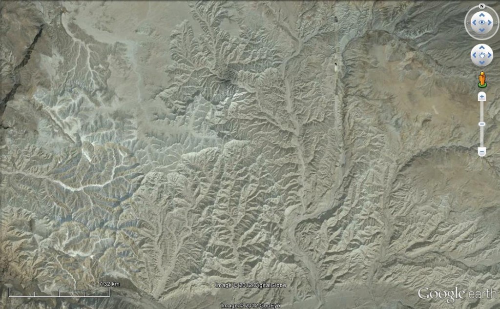
I won Felix’s WoGE #342 only after he made some rather broad hints, which meant this was more of a Google search solution than a Google Earth one, if you know what I mean.
If you don’t, welcome! You have found a fabulous way of wasting time whilst marvelling at the beauty of the earth’s surface. Your mission is to look at the picture below, find the same picture in Google Earth and claim your prize! You do this by logging the location in the comments, along with some remarks on the geology of the area. Your prize is to choose and host the next picture (if you don’t have a blog, not a problem). There is more information about the game available. No Schott rule, so old lions can start tucking into the challenge right away.
I’ve picked a large image so I hope this won’t be too difficult. A hint: this image is not of England (even though we are currently suffering a drought).
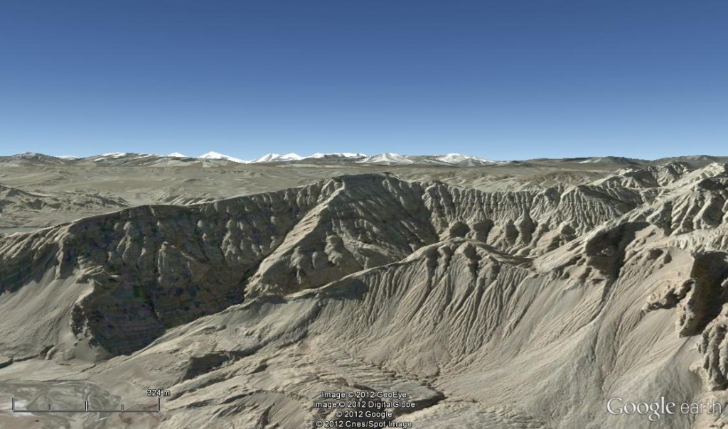
Time for a clue, I think. Here’s a view of the same area from another angle.


I don’t think your picture is as dry as England, as on the picture I can see tiny part of a cloud ! (horizontal 2/3 from the left, 1/5 from top)
31.6194°, 79.7060° Zanda Basin, Tibet, a late Cenozoic graben between the Himalayan mountain range and the Ladak Mountains.
The Xiangquan (Sutlej) River traverses the center of the basin, causing intense erosion to the tabularly bedded lacustrine deposits (Zanda formation). The Zanda Formation overlies unconformably Jurassic limestones and sandstones and are further overlain by Early Pleistocene sands and gravels (out of http://balance64.cefns.nau.edu/Academic/QSP/Research/documents/28.pdf , 1981).
This younger pager from 2006 (http://en.cnki.com.cn/Article_en/CJFDTOTAL-DIZI200605009.htm) adds: “Remarkable changes in depositional environment took place in the Zanda basin after the Xiangquan movement at 4.4 Ma: the depositional environment changed from the fluvial facies in the early stage to the lacustrine facies in the late stage, forming a thickness of more than 500 m of sediments of the Guge Formation. It reflects the changes of the sediments in the Zanda paleolake from the lakeshore→shallow lake→semi→deep lake→lakeshore-shallow lake, i.e. the entire process from the emergence→development→extinction of the paleolake. Its growth process is closely related to the plateau uplift and climatic and environmental changes since the late Cenozoic.”
And in short for the non geologists: we are looking at an extinct lake.
Spot on as always Felix. I’ve nothing more to add to your description.
I picked it as a gorgeous image and it sounds like an amazing place to visit.
Over to you.
WoGE#344 is ready to dive in at http://woge-felix.blogspot.de/2012/05/where-on-google-earth-344.html
For most up-to-date news you have to go to see web and on internet I found this web page as a finest web page for most recent updates.|