Why does the Red River of the North have so many floods?
Cross-posted at Highly Allochthonous
Communities along the Minnesota-North Dakota border are watching the water levels, listening to the weather forecasts, and preparing for another season of flooding. It must be a disconcertingly familiar routine, as this will be the third year in a row in which the Red River of the North reaches major flooding levels. But this isn’t merely a run of bad luck for residents in the Red River Valley, major floods are to be expected in a place with an unfortunate combination of extremely low relief and a river at the whim of snowmelt and ice jams.
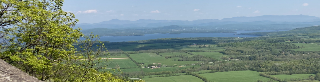
The Red River of the North begins in Minnesota, near the border with North and South Dakota, and it flows northward through Fargo/Moorhead, Grand Forks, and Winnipeg before emptying into Lake Winnipeg, Manitoba. The landscape around the Red River is excruciatingly flat (Figure 1), for the Red River Valley isn’t a stream-formed feature at all, but is the remnant landscape of Glacial Lake Agassiz, which held meltwaters from the Laurentide Ice Sheet for more than 5000 years. The modern Red River has barely managed to incise into this flat, flat surface, because it slopes only very gently to the north (~17 cm/km). Instead, the river tightly meanders across the old lake bed, slowly carrying its water to the north. Topographically, this is a pretty bad setting for a flood, because floodwaters spread out over large areas and take a long time to drain away.

Figure 1. Topography of the US portion of the Red River Valley from SRTM data as displayed by NASA's Earth Observatory
The climate of the Red River watershed makes it prone to flooding during the spring, usually peaking in about mid-April. The area receives about 1 m of snow between October and May, and the river freezes over. In late March to early April, the temperatures generally rise above freezing, triggering the start of snowmelt. Temperatures warm soonest in the southern, upstream end of the watershed and they get above freezing the latest near the mouth of the river. This means that snowmelt drains into the river’s upper reaches while downstream the river is still frozen, impeding flow (Figure 2). As the ice goes out, jams can temporarily occur and dam or back up the river, exacerbating local flooding problems.

Figure 2. Red River near Oslo, Minnesota, 3 April 2009. Here the main river channel is still clogged with ice, while surrounding farmland is underwater. Photo by David Willis of http://www.cropnet.com/.
Together the topography and climate of the Red River watershed are a recipe for large-scale flooding, and the historical record shows that floods are a frequent occurrence on the river. Usually, hydrologists talk about rivers in terms of their flow, or discharge, which is the volume of water per second that passes a point. But, when talking about floods like those on the Red River, it’s not so much volume that matters as how high the water rises (“stage”). The National Weather Service is responsible for flood prediction in the US, and they define flood stage as “the stage at which overflow of the natural streambanks begins to cause damage in the reach in which the elevation is measured.” If the water level continues to rise, “moderate flooding” occurs when “some inundation of structures and roads near streams. Some evacuations of people and/or transfer of property to higher elevations are necessary.” Further increases in water levels can bring a river to “major flooding“, when “extensive inundation of structures and roads. Significant evacuations of people and/or transfer of property to higher elevations.” That’s the sort of flooding that will happen in places along the Red River this spring, as it has many springs in the historical record (Figure 3).

Figure 3. Annual peak stage on the Red River at Grand Forks, North Dakota. Data replotted from the USGS, with local NWS flood stages shown.
Already, flood warnings are being issued for the Red River and its tributaries. As I’ll discuss in my next post, the long-range forecast for this spring’s floods on the Red is looking pretty grim. But as the communities along the river brace for the on-coming flood, it is important to remember that the geology and climate of the region make repeated major floods inevitable.