Collecting Data on the Cuyahoga River in Kent
Next week my Urban Hydrology class embarks on their first project: exploring the potential water quality changes in the Cuyahoga River as it flows through the City of Kent, which is really the first good-sized town on its path to Lake Erie.
Here’s a summary of what we’ll be doing, and you can click through to the attached document to get more details.
Beginning February 5th, we’ll be collecting near-daily water quality measurements of Cuyahoga River water as it flows through Kent. Using the data we collect, we’ll attempt to answer the following questions:
• How does water quality change as the river flows through an urban area?
• How does water quality vary with respect to discharge in the Cuyahoga River?
Each student will sign up for one weekday on the class calendar. On the assigned day, that student will be responsible for taking a suite of measurements at 2-4 locations. The measurements we will take are (1) turbidity, (2) specific conductance, and (3) temperature and we will also collect water samples for later analysis on the Picarro water isotope analyzer. Each student will be required to take one set of measurements at the base of the steps just upstream of Main Street and one set of measurements at the beach just downstream of Summit Street. Students with access to cars are also encouraged to take measurements at the River Bend Road boat launch (at Kent’s upstream end) and at the Middlebury Road boat launch (at Kent’s downstream end). Details of each measurement technique and each site are [in the linked document].

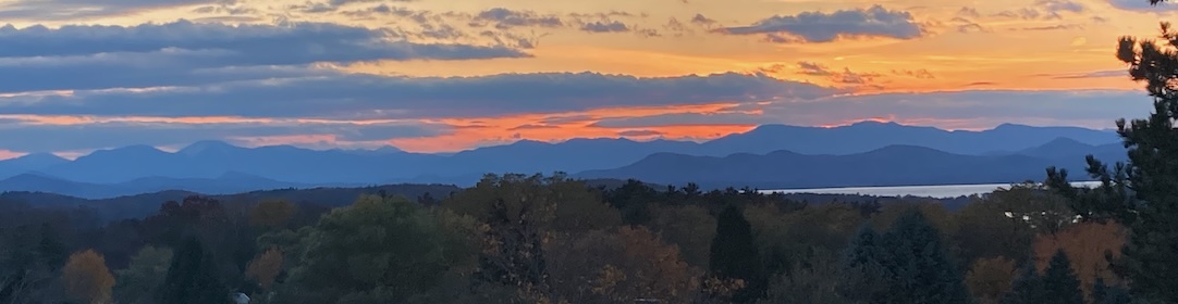
River access just upstream of the Main Street bridge in Kent. This is one of the spots we’ll be using to sample the river.