Brock Freyer defends his MS on the Mighty Mississippi

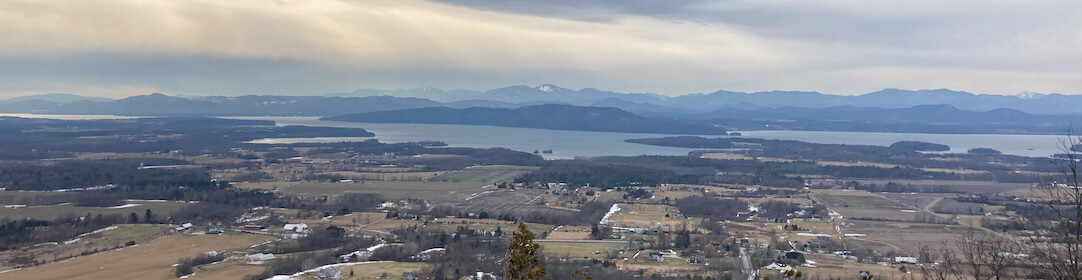
Brock and Anne at the end of field work on the Mississippi River, July 2008.
Today, Brock Freyer will be defending the results of his M.S. research. The title of his research project is: Fluvial Response to River Management and Sediment Supply: Pool 6 of the Upper Mississippi River System, Southeastern Minnesota.
Brock’s committee is composed of Anne Jefferson (advisor), John Diemer and Ross Meentemeyer.
The defense is on Tuesday April 23, 2013, at 1:30 pm in McEniry 307 of UNC Charlotte. As Brock is currently located in Alaska, this will be a Skype defense. All are welcome to attend.
Abstract:
In this age of environmental restorations and rehabilitations, the scale and extent of projects have been getting larger and more expensive. In the Upper Mississippi River System (UMRS) the U.S. Army Corp of Engineers (USACE) has begun the task of restoring the negative effects that over a century of river management has incurred. Due to the scale and cost of such projects, it is essential to understand the natural and human processes that have affected the river system. In the UMRS, erosion and land loss are considered the dominant geomorphological trend, but Pool 6 of the UMRS is an exception to this norm. In Pool 6, deposition and land growth in recent decades have allowed the river morphology to begin reverting to its condition prior to intense river management. Through the application of varied chronological data sets within ArcGIS, spatial variations were measured to better understand where and why changes have occurred. A nested study area approach was applied to Pool 6 by dividing it into three scales: a general Pool wide observation; a smaller more in-depth observation on an area of island emergence and growth in the lower pool; and a subset of that section describing subaqueous conditions utilizing bathymetric data. The results from this study have indicated that site-specific geographic and hydrologic conditions have contributed to island emergence and growth in Pool 6. In Pool 6 land has been emerging at an average rate of 0.08km2/year since 1975. Within lower Pool 6, land has been emerging on an average rate of 18m2/year since 1940. The bathymetric subset has shown that sediments on average have gained 2.41m in vertical elevation, which translates into just under 828,000 m3 of sediments being deposited in 113 years. By identifying and describing these conditions river managers will be able to apply such knowledge to locate or reproduce similar characteristics within degraded sections of the UMRS. If the observations hold true in other locations, restoration efforts will be cheaper, more self-sustaining, promote natural fluvial dynamics, and ultimately be much more successful.
We are currently preparing a manuscript for publication.