AGU 2011 abstract: Understanding channel network extent in the North Carolina Piedmont in the context of legacy land use, flow generation processes, and landscape dissection
The following talk will be presented by Anne at the 2011 AGU fall meeting on Wednesday, December 7th from 9 to 9:15 am in the session “EP31G. Predictive Understanding of Coupled Interactions Among Water, Life, and Landforms II.” It will be in rooms 2022-2024, and the abstract acceptance said something about video on demand.
Understanding channel network extent in the North Carolina Piedmont in the context of legacy land use, flow generation processes, and landscape dissection
Anne J. Jefferson and Ralph W. McGee
Department of Geography and Earth Sciences, University of North Carolina at Charlotte, Charlotte, NC
Nearly all land in the eastern US Piedmont region was cleared for intensive agriculture following European settlement, but some areas have been afforested over the last century. In these areas, an extensive ephemeral stream network drains into perennial headwater streams. In order to understand the present-day functioning of the ephemeral network in afforested watersheds, we mapped 102 channel head positions at 6 sites and monitored 6 channels at 2 sites in North Carolina’s Piedmont. The ephemeral channels are activated by subsurface flow from high intensity precipitation with wet or dry soils, or long duration precipitation with wet soils. Overland flow does not occur upslope of channel heads in forested watersheds, but it is observed in present-day pastures and fields.
Channel head contributing areas range from 0.1 – 3.0 ha, with local slopes that average 0.13 (range: 0.04 – 0.36). The relationship between slope and area at the channel heads has the form c = AS1.1, with an exponent much lower than the commonly reported exponent of ~2 that is associated with subsurface or saturation overland flow. Instead, the lower exponent may reflect the legacy of 18th-19th century of intense land use and degraded cover, which may have produced turbulent overland flow upslope of channels. Though established by relict land use conditions, we suggest that this network extent is maintained by the frequent activation of the channels through subsurface flow under forest cover. Further, channel heads are located within or downslope of colluvial hollows suggesting that gullying from historical land use is not the most extensive channel network experienced by the Piedmont over the course its landscape evolution, and that the dissection of the landscape may be the result of a precipitation and land cover regime much different from the modern one.
")
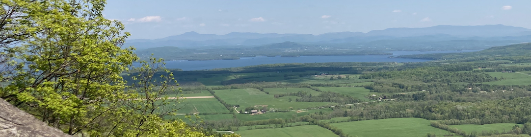
Gully down to bedrock, Morrow Mountains State Park, North Carolina (photo by A. Jefferson)