← Why does the Red River of the North have so many floods?
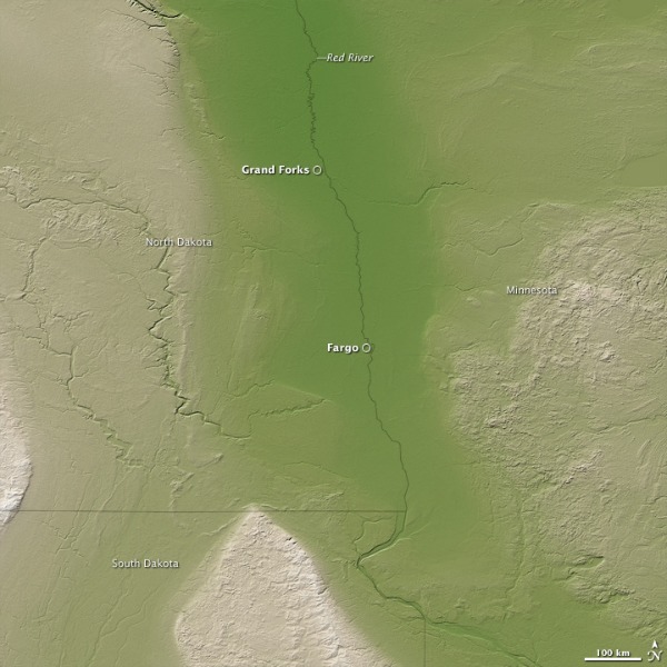
Topography of the US portion of the Red River Valley from SRTM data as displayed by NASA’s Earth Observatory
Your email address will not be published. Required fields are marked *
Name *
Email *
Website
Comment
You may use these HTML tags and attributes: <a href="" title=""> <abbr title=""> <acronym title=""> <b> <blockquote cite=""> <cite> <code> <del datetime=""> <em> <i> <q cite=""> <strike> <strong>
<a href="" title=""> <abbr title=""> <acronym title=""> <b> <blockquote cite=""> <cite> <code> <del datetime=""> <em> <i> <q cite=""> <strike> <strong>
Notify me of followup comments via e-mail