
 On the 12th day of Christmas my true love sent to me: 12 folds a-plunging…
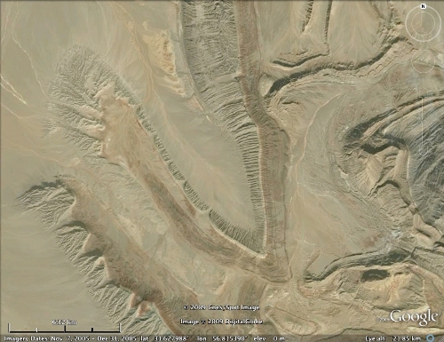
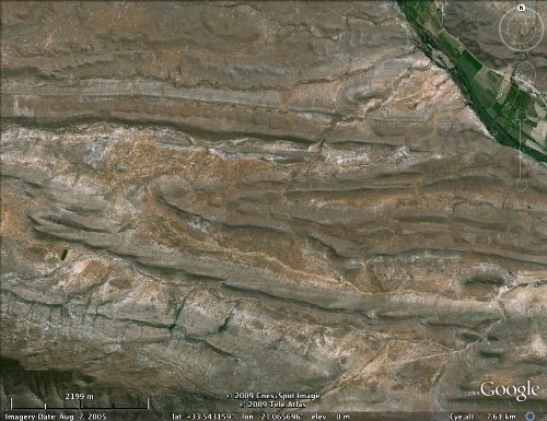
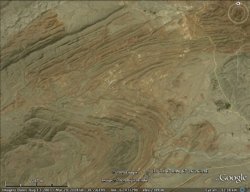
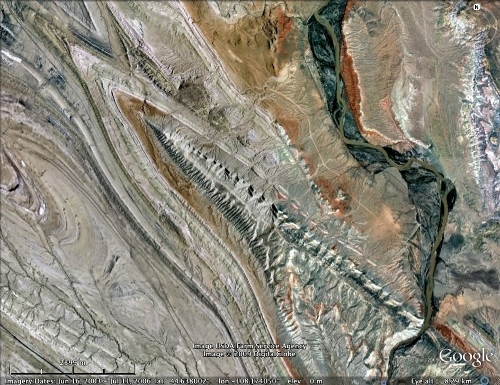
Anyone with even a hint of structural geologist in their soul loves a good fold. As well as their geometrically appealing curves, they represent a tangible, easily read footprint of the tectonic forces that have lifted up the hills and mountains around you. A fold is said to plunge if its axis of curvature has been tilted away from the horizontal, such that the landscape will cut through the fold, rather than running parallel to it.
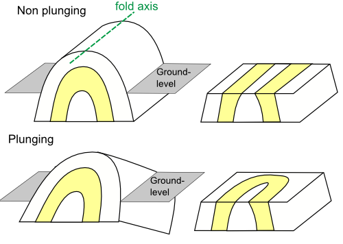
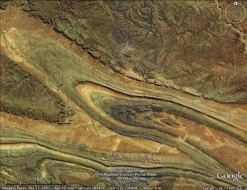
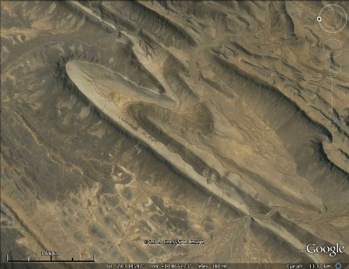
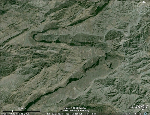
This means that when seen from above, plunging folds look rather beautiful; the differently eroding beds form a tableau of warped ridges and valleys, all co-operating to tell their tale of orogonies past.
Australia (click images to open in Google Earth)
Algeria
Oman
Iran
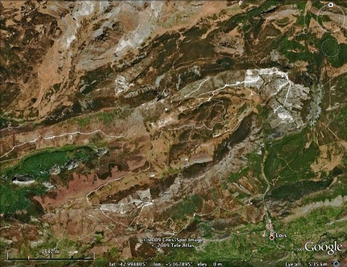
Cantabrians
South Africa
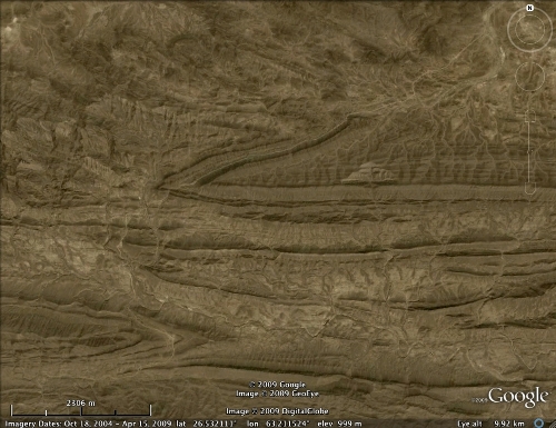
Pakistan
Pakistan again
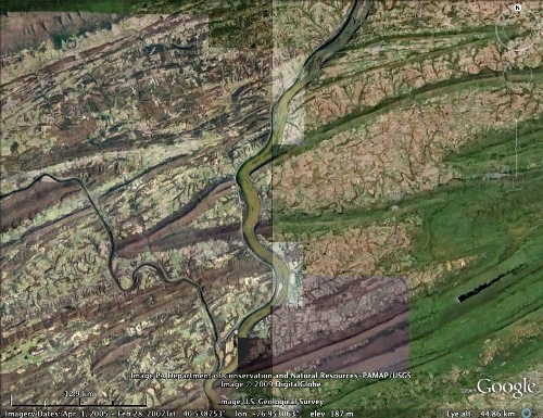
Pennsylvania
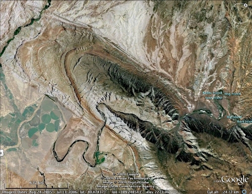
Utah
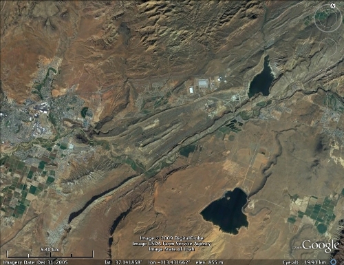
Utah again
Wyoming
For the examples above (click here to open the full set in Google Earth) I’ve borrowed heavily from the SERC page of Google Earth mapping locations, as well as adding a few from my own personal experience. I was hoping to include at least one from the UK, but none of the examples I know of show up well on satellite; if you know of any, in Britain or elsewhere, I’d be happy to hear of them in the comments.
…11 terranes amalgamating,
10 probes a-probing,
9 isotopes fractionating,
8 streams reversing,
7 glaciers melting,
6 fields a-flipping,
5 focal mechanisms,
4 index fossils,
3 Helmholtz coils,
2 concordant zircons,
and an APWP.
Thus ends my Christmas epic. Phew. I hope it provided some interest and enjoyment over the festive season.
Comments (8)