
This weeks challenge comes via fellow Scibling Martin of Aardvarchaeology:
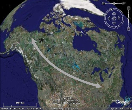
I’ve noticed something funny about the map of North America. The Great Lakes in the US form the end of a straight line of huge lakes extending north-west across Canada. Could you please tell me how that line of lakes formed?
It looks like he has a point:
Now, this is one of those situations where I can make an educated guess about the answer, but I’m neither sure if it’s right or if I’m grasping the full story. If I’m even approaching a clue, this (right click to download) or this may prove helpful. Or not. Either way, get guessing.
Comments (13)